
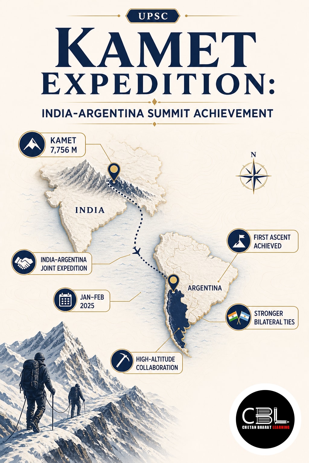
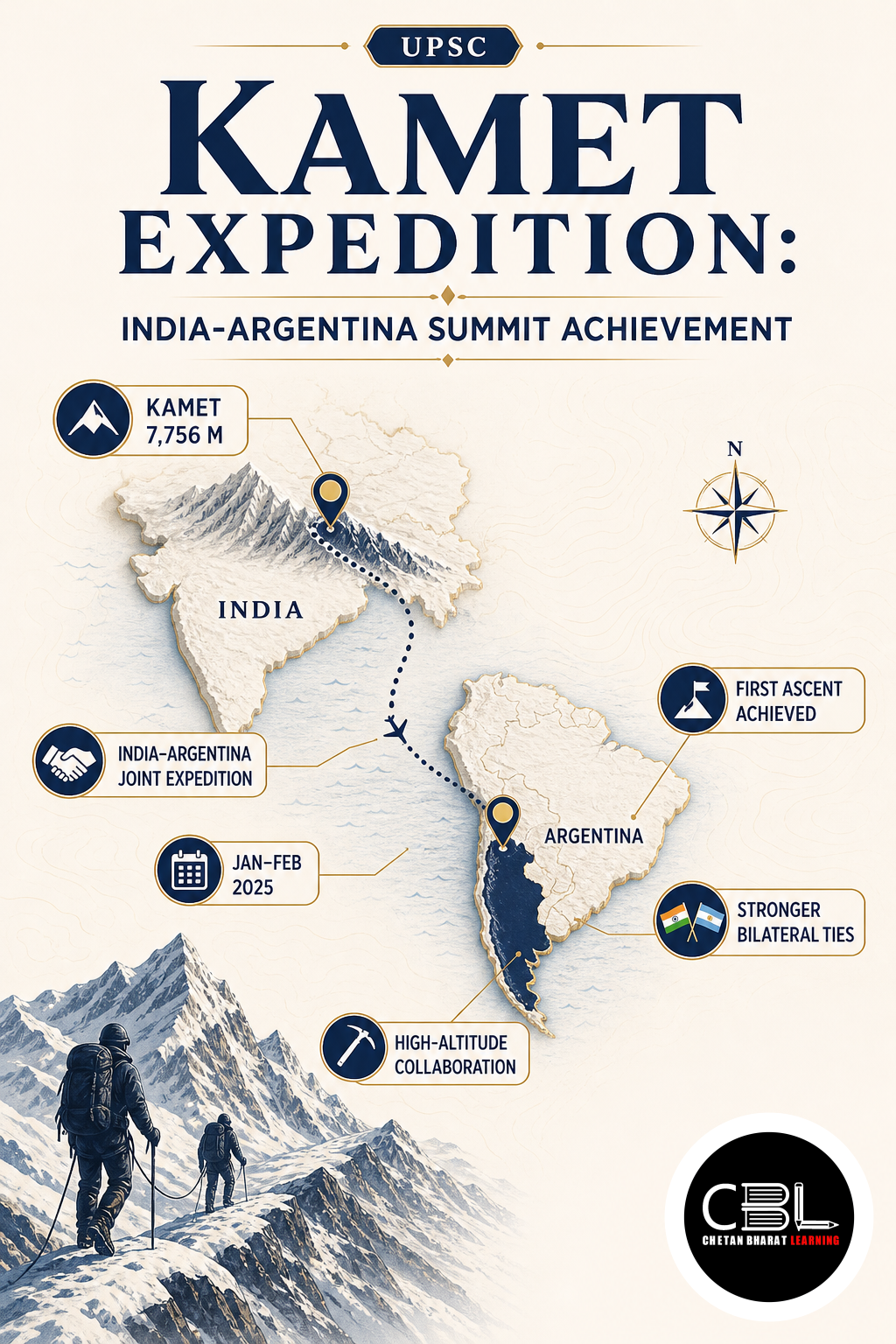
Kamet Expedition members successfully climbed Mount Abi Gamin and Mount Kamet in Uttarakhand’s high Himalayas. The joint Indian and Argentine Army venture combined high-altitude training, military cooperation and knowledge of a strategically important border landscape. Explore related physical features through our geography current affairs coverage.
What is the Kamet Expedition?
The Kamet Expedition was the third joint mountaineering venture conducted by the Indian Army and Argentine Army. Lieutenant Colonel Chirag Chatterjee led the 35-member team, comprising 25 Indian personnel and 10 Argentine personnel. The expedition trained both contingents in technical climbing, acclimatisation, survival and coordinated movement across difficult Himalayan terrain.
The team was flagged off from New Delhi on 21 August 2026 and climbed Abi Gamin on 17 September. It subsequently summited Kamet on 21 September after negotiating extreme cold, strong winds, crevasses, steep rock and extensive snowfields. The venture strengthened interoperability, mutual trust and shared high-altitude experience between the two armies.
Why is the Kamet Expedition in News?
The Kamet Expedition entered the news when the Chief of the Army Staff received its members in New Delhi after both successful ascents. The Ministry of Defence’s official expedition release recorded the summit dates, team composition and physical challenges faced by the mountaineers. The achievement demonstrated endurance, technical competence and close bilateral coordination.
It followed joint climbs of Mount Aconcagua in Argentina during January 2025 and Mount Kun in Ladakh during August 2025. Successive ventures allow soldiers to exchange climbing methods, leadership practices, risk assessment and rescue skills. They also add a practical defence diplomacy dimension to India-Argentina relations without involving combat operations.
Key Features
The two peaks combine major Himalayan geography, glacial drainage and demanding mountaineering conditions.
- Kamet’s elevation: At 7,756 metres, Mount Kamet is India’s third-highest peak after Kangchenjunga and Nanda Devi and the highest peak of the Zanskar Range.
- Abi Gamin’s position: The 7,355-metre peak forms part of the Kamet massif and is separated from the main mountain by the high saddle called Meade’s Col.
- Border geography: The massif lies in Chamoli district near the India-Tibet border, between the Mana and Niti pass sectors of Uttarakhand.
- Glacial drainage: Glaciers around the massif feed the Saraswati and Dhauliganga systems, which ultimately contribute to the Alaknanda basin.
- Historic ascent: A British expedition including Frank Smythe reached Kamet’s summit in 1931, making it the first peak above 25,000 feet successfully climbed.
Mount Kamet rises near the southeastern end of the Zanskar Range, part of the Trans-Himalayan mountain system extending through Ladakh and adjoining Uttarakhand. Its pyramid-like form appears comparatively remote from heavily visited climbing zones. Approaches pass through high valleys where weather, moraine, river crossings and scarce infrastructure complicate movement.
Abi Gamin occupies the northeastern side of the Kamet massif and helps divide upper drainage catchments. Its location near an international boundary gives the surrounding terrain strategic sensitivity. Expeditions require careful route planning, administrative permissions and coordination with security and local authorities in addition to ordinary mountaineering preparation.
High-altitude climbing exposes the body to low oxygen pressure, cold stress, dehydration and rapid weather changes. Teams must ascend gradually so members can acclimatise and reduce the risk of acute mountain sickness, high-altitude pulmonary oedema and cerebral oedema. Rope work, crevasse rescue, navigation and load management become critical above established camps.
Army expeditions serve training purposes beyond reaching a summit. Personnel practise leadership under stress, casualty evacuation, communications, logistics and decision-making with limited resources. A joint team must also harmonise commands, equipment procedures and safety standards, making mountaineering a practical platform for professional military cooperation.
Challenges
High Himalayan ventures face objective hazards, ecological fragility, limited rescue access and complex cross-cultural coordination.
- Altitude illness: Reduced oxygen can impair judgement and physical performance, while severe pulmonary or cerebral oedema requires immediate descent and medical support.
- Terrain hazards: Hidden crevasses, avalanches, rockfall, unstable snow and steep ice can threaten even experienced climbers using planned routes.
- Weather uncertainty: High winds, snowfall and sudden whiteouts can delay summit attempts, damage camps and isolate teams from support.
- Rescue limitations: Remoteness, poor visibility and extreme elevation restrict helicopter operations and make evacuation slow, dangerous and resource-intensive.
- Environmental pressure: Camp waste, discarded equipment, human activity and fuel use can damage fragile alpine ecosystems where natural recovery occurs slowly.
Climate change adds uncertainty by altering glaciers, snow stability and seasonal weather windows. Retreating ice can expose loose rock, while irregular snowfall may create unfamiliar avalanche conditions. Historical route experience therefore needs updated satellite imagery, local observations and real-time forecasts rather than unquestioned reliance on past patterns.
Expedition success must never override safety or environmental responsibility. Leaders need authority to turn back when conditions deteriorate, even near the summit. Our environment current affairs archive explains why Himalayan activities require low-impact practices and careful attention to climate-sensitive mountain systems.
Way Forward
Future expeditions should combine gradual acclimatisation, medical screening based on individual altitude history and health, satellite communication, avalanche assessment and rehearsed evacuation plans. Teams should map crevasses, maintain redundant weather information and establish clear turnaround times before summit attempts, with predetermined triggers for descent when wind, visibility, snowfall or team health crosses safe limits. Shared training before deployment can standardise rope systems, emergency commands and risk-management protocols across participating armies, reducing confusion during emergencies when fatigue, language differences and rapidly changing weather leave little time for consultation.
Authorities should enforce carry-back rules for waste, record material brought into every camp, limit unnecessary camp disturbance and document changing snow and glacier conditions for research. Joint expeditions can expand into rescue exercises, mountain medicine and scientific monitoring while preserving their diplomatic value and generating observations useful for climate research, local disaster planning and future route selection. The Ministry of Defence portal provides the wider institutional context for military cooperation, preparedness and professional exchanges and sustained bilateral collaboration in some of the world’s most remote and demanding terrain.
FAQs on Kamet Expedition
When did the team summit the two mountains?
The team climbed Abi Gamin on 17 September and Kamet on 21 September 2026. The Army Chief received the expedition members in October.
Why is Mount Kamet important for Indian geography?
It is India’s third-highest peak and the highest point of the Zanskar Range. Its glaciers contribute to the upper Alaknanda river system.
What was the composition of the joint team?
The 35-member team included 25 Indian Army personnel and 10 Argentine Army personnel. Lieutenant Colonel Chirag Chatterjee led the expedition.
Related Current Affairs
Preparing for UPSC, PCS or HCS?
Talk to a mentor at Chetan Bharat Learning, Chandigarh. Free guidance on choosing the right exam and building a study plan.
Chat on WhatsAppCall 97793 53345UPSC / IAS / PCS coaching in Chandigarh · Trusted by aspirants across Punjab & Haryana
Leave a Reply
You must be logged in to post a comment.