
Kerala Floods: Silted Rivers Behind Rising Flood Risk
| Exam | Topics |
|---|---|
| Prelims | Floods, River Siltation, Wetlands, Disaster Management |
| Mains (GS Paper III) | Environment, Disaster Management and Climate Change |
What is Kerala Floods?
The uploaded infographic defines a flood as the temporary inundation of normally dry land due to excess water exceeding the carrying capacity of rivers, drainage systems or land. It identifies causes such as heavy rainfall, cyclones, cloudbursts, dam failures and urban drainage failures.
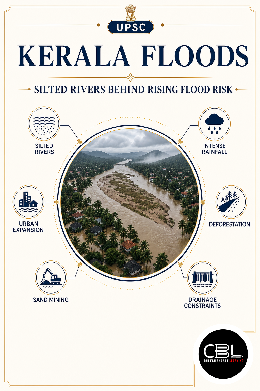
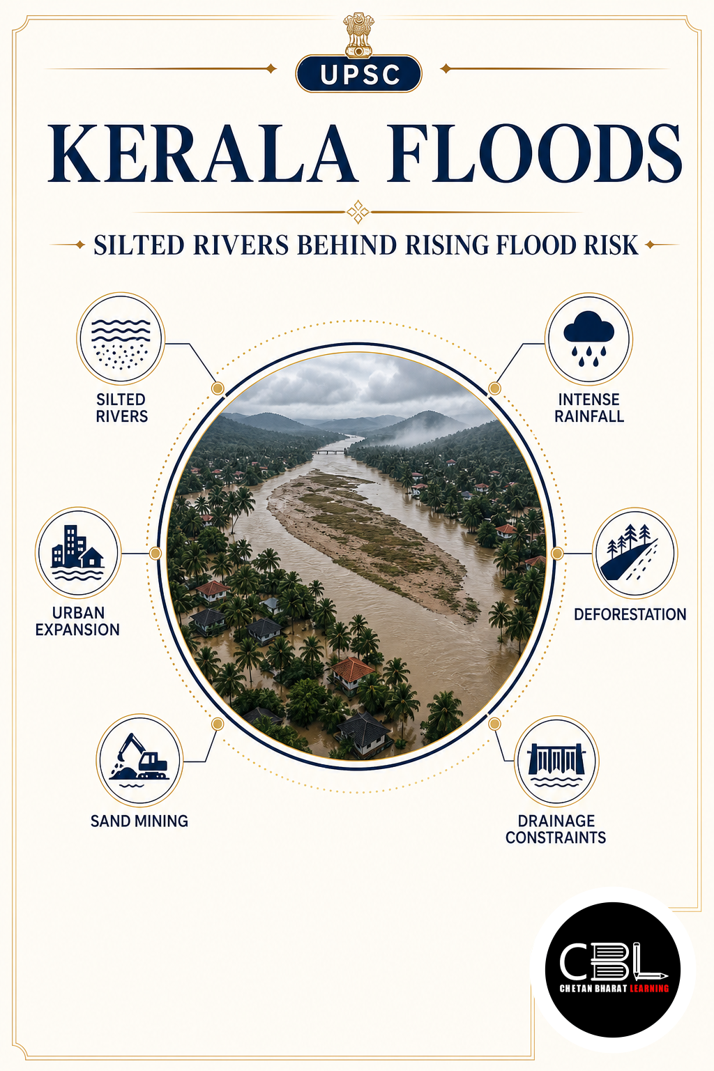
According to the source, floods in Kerala are becoming more frequent because of river siltation, reservoir sedimentation, shrinking wetlands, rapid urbanisation and altered natural hydrology.
Why is Kerala Floods in News?
Silt accumulation in rivers has significantly reduced their carrying capacity, increasing flood vulnerability. The report also links repeated landslides with the movement of sediments into river channels, further reducing water storage and drainage efficiency.
The accompanying infographic highlights that reduced river depth, wetland loss and expansion of impervious urban surfaces together contribute to higher surface runoff and flash floods.
Key Features
- River siltation: Sediment deposition makes rivers shallower and lowers their carrying capacity.
- Reservoir sedimentation: Storage capacity declines as sediments accumulate, increasing downstream flood risk.
- Wetland loss: Natural water-storage areas shrink, resulting in greater surface runoff.
- Rapid urbanisation: Concrete surfaces reduce infiltration and increase drainage failures.
- Climate variability: Intense rainfall and changing weather patterns increase flood frequency.
Challenges
- Landslide-generated sediment: Landslides increase the amount of material entering rivers.
- Reduced river storage: Shallower rivers overflow more quickly during heavy rainfall.
- Flash floods: Altered hydrology and rapid runoff increase sudden flooding.
- Urban expansion: Impermeable surfaces accelerate runoff into rivers.
- Climate pressures: Extreme rainfall events intensify disaster risks.
Way Forward
The uploaded infographic recommends an integrated flood management strategy that includes scientific river-basin management, periodic desiltation, wetland restoration, floodplain zoning, climate-resilient urban planning, afforestation, slope stabilisation and stronger flood forecasting.
It also emphasises structural measures such as embankments, drainage improvement and desiltation, together with non-structural measures including flood forecasting, early warning systems, land-use planning and community awareness.
Prelims Practice Corner
- Q1. According to the uploaded infographic, the primary factor highlighted behind increasing flood risk in Kerala is?
- (a) Desertification
- (b) River siltation
- (c) Glacier melt
- (d) Sea piracy
- Answer: (b)
- Q2. Wetlands primarily help in flood management by?
- (a) Increasing evaporation
- (b) Acting as natural water storage areas
- (c) Blocking rainfall
- (d) Diverting rivers
- Answer: (b)
- Q3. Reservoir sedimentation mainly reduces?
- (a) Rainfall
- (b) Storage capacity
- (c) Wind speed
- (d) River length
- Answer: (b)
- Q4. Impermeable urban surfaces primarily increase?
- (a) Groundwater recharge
- (b) Surface runoff
- (c) River depth
- (d) Soil fertility
- Answer: (b)
- Q5. The Disaster Management Act mentioned in the infographic was enacted in?
- (a) 1991
- (b) 2005
- (c) 2010
- (d) 2015
- Answer: (b)
Mains Practice Questions
- Q1. Analyse the role of river siltation and land-use changes in increasing flood vulnerability in Kerala. (10 marks)
- Intro: Define flood vulnerability.
- Body: River siltation, wetland loss, urbanisation, altered hydrology and climate factors.
- Conclusion: Recommend integrated river-basin management.
- Q2. Discuss structural and non-structural measures required to build flood-resilient states in India. (15 marks)
- Intro: Explain the importance of disaster risk reduction.
- Body: Desiltation, flood forecasting, land-use planning, wetland conservation, early warning systems and community participation.
- Conclusion: Emphasise climate-resilient and ecosystem-based flood management.
FAQs on Kerala Floods
- Why are Kerala Floods important for UPSC? The topic integrates environment, disaster management, climate change, river systems and governance under GS Paper III.
- According to the uploaded material, what is the major reason for increasing flood frequency? The passage and infographic identify river siltation, together with wetland loss, rapid urbanisation and altered hydrology, as major contributing factors.
- What solution does the uploaded infographic recommend? It recommends integrated flood management through scientific river-basin management, periodic desiltation, wetland restoration, floodplain zoning and improved disaster preparedness.
Related Current Affairs
Preparing for UPSC, PCS or HCS?
Talk to a mentor at Chetan Bharat Learning, Chandigarh. Free guidance on choosing the right exam and building a study plan.
Chat on WhatsAppCall 97793 53345UPSC / IAS / PCS coaching in Chandigarh · Trusted by aspirants across Punjab & Haryana
Leave a Reply
You must be logged in to post a comment.