

UPSC Mapping
| Prelims | Environment |
|---|---|
| Mains | GS Paper 3 |
Quick Facts
| Primary Trigger | Glacial Detachment |
|---|---|
| Death Toll | 1,050 Plus |
| Missing Persons | 4,000 Plus |
| Nodal Agency | NDRRMA |
The devastating Bhotekoshi flash floods have completely overwhelmed local rescue infrastructure in Nepal. The catastrophic event triggered massive debris flows across multiple mountain districts recently. Students can track similar updates in our daily current affairs archive regularly.
What is Bhotekoshi flash floods?
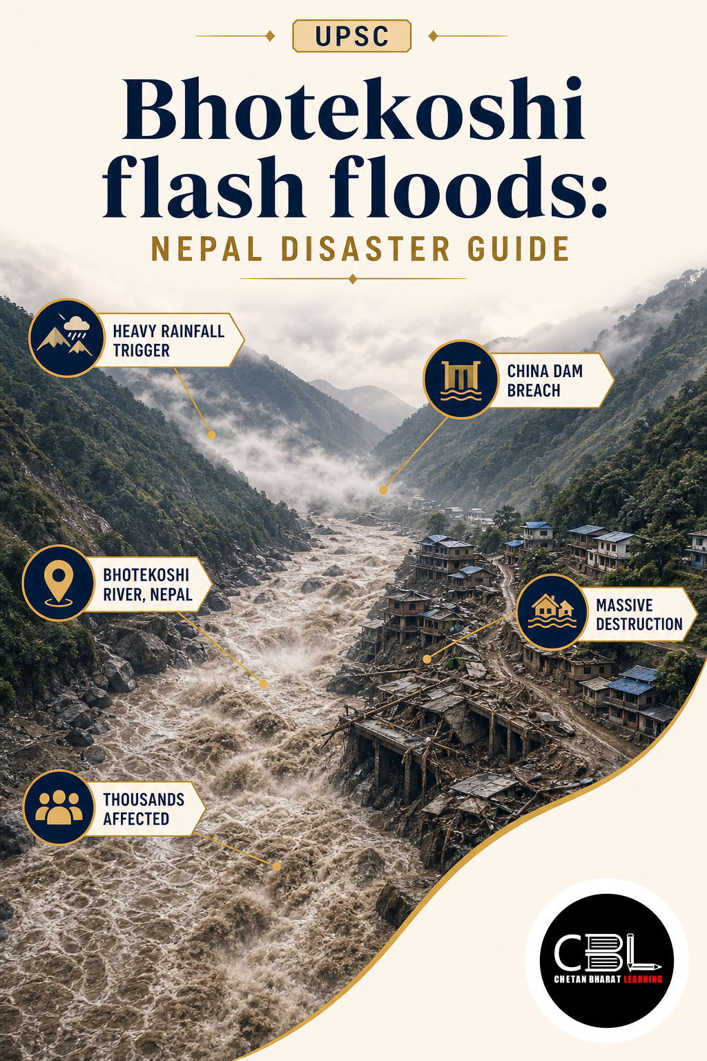
The Bhotekoshi flash floods represent a severe cascading hazard triggered by massive glacial detachments. The sudden collapse deposited immense volumes of ice and rock into the river valley. This temporary natural dam eventually breached and sent a catastrophic pulse downstream.
Unlike standard monsoon flooding this specific event involved highly viscous debris flows traveling rapidly. The destructive wave crossed international borders within minutes and destroyed critical hydropower infrastructure. Environmental scientists emphasize that such rapid geological shifts demand immediate structural interventions.
The strategic pivot recognizes that controlling underlying hydrological vectors guarantees long-term regional security. The administration provides substantial financial incentives to domestic startups developing indigenous remote sensing tools. Local engineers now access advanced satellite mapping technologies through dedicated state-backed mechanisms.
Why is Bhotekoshi flash floods in News?
Nepalese authorities recently confirmed that the total death toll surpassed one thousand individuals. This staggering casualty rate prompted the military to conduct desperate search operations inside collapsed tunnels. You can review official disaster guidelines via this NDMA portal for precise mitigation strategies.
The capital city Kathmandu recently witnessed unprecedented mass burials due to completely saturated mortuaries. Emergency responders struggled to identify hundreds of victims recovered from the muddy riverbanks. Global experts warn this trajectory highlights the severe vulnerability of young mountain ecosystems.
Continuous rainfall and secondary landslides severely hamper the deployment of heavy rescue machinery today. The National Disaster Risk Reduction and Management Authority recently issued fresh alerts for Nuwakot. This volatile environment forces relief workers to constantly evacuate critical riverside settlements.
Key Features
- Cascading Hazards: The initial glacial collapse triggered secondary landslides and temporary river blockages that eventually burst violently.
- Transboundary Impact: The massive debris flow crossed the China-Nepal border within minutes and destroyed downstream infrastructure.
- Infrastructure Collapse: Over a dozen critical hydroelectric projects along the Trishuli river system suffered catastrophic structural damage.
- Mortuary Saturation: Local hospitals completely exhausted their cold storage capacity and forced authorities to conduct mass forest burials.
- High-Altitude Rescue: Military teams face extreme logistical hurdles while searching for stranded workers inside flooded underground passages.
Challenges
- Continuous Rainfall: Persistent monsoon showers severely hamper aerial surveillance and ground-level rescue operations across the valley.
- Tunnel Traps: Military personnel face extreme risks while searching for stranded workers inside flooded underground hydroelectric passages.
- Identification Crisis: The sheer volume of mud and debris severely complicates the forensic identification of recovered human remains.
- Early Warning Deficit: The rapid speed of the event provided zero realistic opportunity for downstream communities to evacuate safely.
- Supply Chain Disruption: Regional instability severely restricts the import of essential heavy earthmovers and specialized medical equipment.
You can explore similar environmental crises in our environment section for deeper insights. The immense financial burden of importing expensive rescue gear strains the annual national exchequer significantly. Regular upgrades to mobile command centers require massive sustained investments spanning multiple years.
The highly seasonal nature of regional rainfall severely limits the continuous operational capacity of rural routes. Engineers must continuously develop specialized all-terrain vehicles to transport heavy drilling equipment during prolonged monsoons. The rigorous maintenance schedules often keep mobile rescue units dormant for extended periods.
Way Forward
The international community must accelerate the development of advanced indigenous satellite monitoring platforms to mitigate Bhotekoshi flash floods. Integrating artificial intelligence with hydrological tracking will drastically improve rural early warning efficiency nationwide. Providing localized technical assistance will drastically reduce the maintenance downtime of complex sensor networks.
Check the latest UN disaster risk reduction guidelines for strategic disaster management frameworks. The global community must periodically review baseline methodologies to ensure they reflect current tectonic realities. Continuous refinement of the Bhotekoshi flash floods strategy will guarantee that the initiative delivers genuine protection.
State governments must actively align their local evacuation policies with central guidelines to maximize regional synergies. Coordinated efforts between different administrative tiers will eliminate redundant paperwork for aspiring geological researchers. This unified approach will significantly accelerate the continental transition towards a self-reliant disaster infrastructure.
Policymakers must also focus heavily on creating a robust domestic market for alternative early warning technologies. Mandating the use of local components in government testing projects will guarantee initial demand for startups. This assured market access will provide the necessary confidence for private investors to fund ambitious geotechnical ventures.
Prelims Practice Corner
Q1. What primary geological event triggered this specific cascading disaster?
(a) Tectonic earthquake (b) Glacial detachment (c) Volcanic eruption (d) Cyclonic storm
Answer
Answer: (b) A massive glacial detachment in the Langtang range deposited ice and rock into the valley.
Q2. Which river system suffered catastrophic damage to over a dozen hydroelectric projects?
(a) Kosi (b) Gandaki (c) Trishuli (d) Karnali
Answer
Answer: (c) Over a dozen critical hydroelectric projects along the Trishuli river system suffered severe damage.
Q3. Which national agency recently issued fresh alerts for Nuwakot and Rasuwa districts?
(a) NDRRMA (b) ISRO (c) NDMA (d) WMO
Answer
Answer: (a) The National Disaster Risk Reduction and Management Authority issued the alerts.
Q4. Why did authorities resort to mass burials in the Gokarna Forest Resort?
(a) Religious mandates (b) Complete saturation of local mortuaries (c) Lack of land (d) Epidemic fears
Answer
Answer: (b) Local hospitals completely exhausted their cold storage capacity due to the massive casualty rate.
Q5. How quickly did the destructive debris wave cross the international border?
(a) Within minutes (b) Six hours (c) Two days (d) One week
Answer
Answer: (a) The massive debris flow crossed the China-Nepal border within minutes of the initial collapse.
Mains Practice Questions
Q1. Discuss the concept of cascading hazards in the context of recent Himalayan glacial detachments. (10 marks)
Answer Structure:
- Intro: Define cascading hazards and highlight the recent glacial collapse in the Langtang range.
- Body: Explain how the initial detachment triggered temporary river blockages, which eventually burst and sent highly viscous debris flows downstream, destroying critical infrastructure.
- Conclusion: Conclude that modern disaster management must shift from reactive relief to anticipatory geological risk governance.
Q2. Transboundary river systems require robust international data-sharing mechanisms to prevent catastrophic downstream impacts. Analyze. (15 marks)
Answer Structure:
- Intro: Introduce the rapid speed of Himalayan debris flows that cross international borders within minutes.
- Body: Analyze the early warning deficit, the necessity of integrating remote sensing with localized community monitoring, and the geopolitical hurdles of sharing hydrological data.
- Conclusion: Suggest that establishing multilateral diplomatic frameworks is essential to secure volatile river basins and protect vulnerable mountain communities.
FAQs on Bhotekoshi flash floods
Why did local mortuaries fail to handle the casualty rate?
The sheer volume of victims quickly exceeded the cold storage capacity of local hospitals in Kathmandu. This severe infrastructure bottleneck forced authorities to conduct unprecedented mass burials in nearby forest reserves.
What makes these specific debris flows so destructive?
Unlike standard water floods, these events involve highly viscous mixtures of ice, rock, and sediment. This dense material travels at tremendous speeds and completely pulverizes concrete hydropower infrastructure in its path.
How is the military assisting in the rescue operations?
The Nepal Army is conducting highly specialized search operations inside flooded underground hydroelectric tunnels. Personnel face extreme risks while attempting to locate stranded workers trapped beneath thousands of tons of mud.
Related Current Affairs
Preparing for UPSC, PCS or HCS?
Talk to a mentor at Chetan Bharat Learning, Chandigarh. Free guidance on choosing the right exam and building a study plan.
Chat on WhatsAppCall 97793 53345UPSC / IAS / PCS coaching in Chandigarh · Trusted by aspirants across Punjab & Haryana
Leave a Reply
You must be logged in to post a comment.