
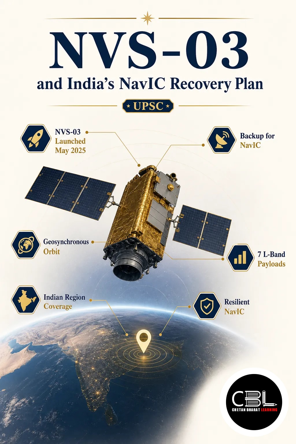

NVS-03 is back in focus as India looks to strengthen its regional navigation system. For a quick background, see CBL’s current affairs coverage on strategic technology and space systems.
What is NVS-03?
NVS-03 is a navigation satellite linked to NavIC, India’s indigenous regional satellite-based positioning system. The mission matters because it can help restore and strengthen India’s own alternative to global navigation services. In UPSC terms, navigation satellites sit at the intersection of space technology, strategic autonomy, and public digital infrastructure.
NavIC supports accurate positioning across India and the surrounding region. A stronger constellation improves civilian applications such as transport, timing services, disaster response, and fisheries support. It also reduces dependence on foreign global navigation systems for critical uses.
Why in News?
The explainer points to NVS-03 as a satellite that could restore India’s regional GPS alternative. That makes the mission relevant beyond space research, because continuity of navigation services affects several sectors at once. The update also highlights how India protects the reliability of NavIC as a national capability.
The issue is significant for exam preparation because current affairs on space often connect with critical infrastructure. Even a single satellite can influence system redundancy, service resilience, and long-term design of India’s navigation architecture.
Key Features
- Part of NavIC — NVS-03 contributes to India’s regional navigation constellation and its continuity.
- Strategic utility — A domestic system supports independent timing and positioning services for sensitive uses.
- Civilian applications — Navigation data can support road transport, marine activities, and emergency services.
- Regional coverage — NavIC is designed for India and the adjoining region, not global coverage.
- Technology ecosystem — The system reflects advances in satellite-based positioning, signal broadcasting, and space infrastructure.
Challenges
- Constellation reliability — Navigation systems need enough healthy satellites to maintain stable service.
- User adoption — Devices and applications must support NavIC signals for wider real-world use.
- Service continuity — Any satellite shortfall can affect precision, availability, and confidence in the system.
- Integration issues — Indian and global devices may not uniformly prioritise regional systems.
- Maintenance burden — A regional navigation network needs regular replenishment and technical upgrades.
Way Forward
India needs a stronger satellite replenishment cycle for NavIC so the constellation stays dependable. Wider support from handset makers, vehicle systems, and industrial users will also improve adoption. At the policy level, navigation capability should be treated as a strategic public infrastructure asset.
Long-term planning should also focus on user awareness, compatibility testing, and integration with Indian digital services. If these measures move together, NVS-03 can do more than add a satellite; it can help secure a national navigation backbone.
Source: Indian Express Explained, 20 Oct 2026
- High-Altitude Platform: DRDO’s 21 km Trial (9 Oct 2026)
- INS Mangrol: India’s Indigenous Anti-Submarine Warship (15 Oct 2026)
Questions on NavIC can appear under science and technology in state PCS exams. They also link to governance through navigation-based services in transport, disaster management, and digital public infrastructure. For Haryana and Punjab, such topics help explain how space technology supports administration and connectivity.
FAQ
What does NavIC mean?
NavIC is India’s own regional satellite navigation system. It provides positioning and timing services for users across India and nearby areas.
Why is NVS-03 important?
NVS-03 matters because it supports continuity of the NavIC constellation. That helps India maintain a reliable domestic navigation capability.
How is this topic useful for UPSC?
It links science and technology with security, governance, and infrastructure. Questions may appear in Prelims as well as GS Paper III.
Related Current Affairs
Preparing for UPSC, PCS or HCS?
Talk to a mentor at Chetan Bharat Learning, Chandigarh. Free guidance on choosing the right exam and building a study plan.
Chat on WhatsAppCall 97793 53345UPSC / IAS / PCS coaching in Chandigarh · Trusted by aspirants across Punjab & Haryana
Leave a Reply
You must be logged in to post a comment.