
UPSC Mapping
| Prelims | Mains |
|---|---|
| Government Schemes, GIS Technology, Land Records | GS Paper II – Governance, Urban Development and Land Reforms |
Quick Facts
| Scheme | National Geospatial Knowledge-based Land Survey of Urban Habitations |
|---|---|
| Parent Programme | Digital India Land Records Modernization Programme (DILRMP) |
| Nodal Ministry | Department of Land Resources, Ministry of Rural Development |
| Technology | GIS, Aerial Survey and Geospatial Mapping |
Article
What is NAKSHA Project?
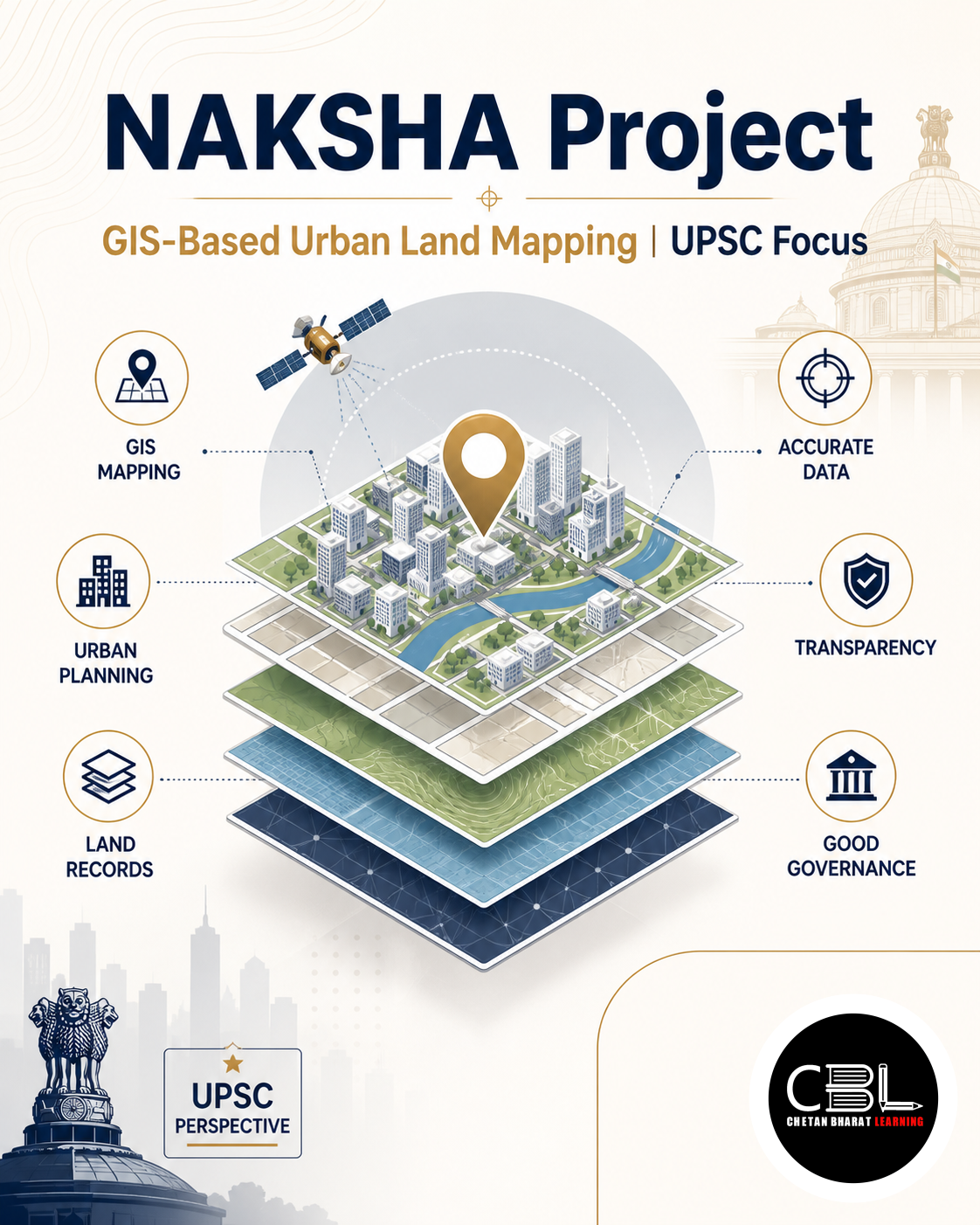
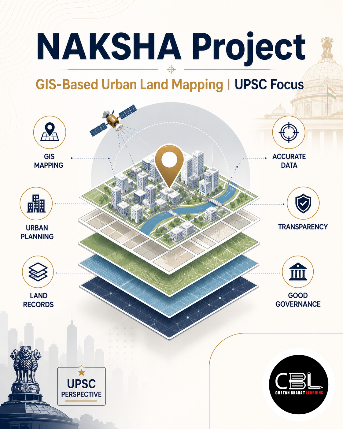
NAKSHA Project stands for National Geospatial Knowledge-based Land Survey of Urban Habitations. It is a modern GIS-based urban land parcel mapping initiative designed to create highly accurate and digitised urban land records across Urban Local Bodies (ULBs) in States and Union Territories.
The project operates under the broader framework of the Digital India Land Records Modernization Programme (DILRMP). It aims to transform conventional land records into geospatially referenced digital databases that support transparent governance and efficient urban planning.
Why is NAKSHA Project in News?
The Directorate of Settlement and Land Records (DSLR) is preparing to begin a month-long inquiry under the NAKSHA pilot programme in Margao, Cuncolim and Panaji. The exercise is expected to validate land records and strengthen digital urban mapping.
The pilot represents another step towards modernising India’s urban land administration through technology-driven governance. Official information can be accessed through the Department of Land Resources.
Objectives of NAKSHA Project
- Create comprehensive geospatial records: Develop accurate GIS-based urban land parcel databases.
- Improve land governance: Strengthen transparency, accountability and record management.
- Support urban planning: Enable evidence-based planning and infrastructure development.
- Facilitate property transactions: Reduce disputes and simplify ownership verification.
- Promote efficient land use: Assist governments in sustainable urban development and policy formulation.
Key Features of NAKSHA Project
- GIS-enabled mapping: Uses Geographic Information System technology for precise land parcel mapping.
- Aerial and field surveys: Integrates aerial imagery with ground verification to improve accuracy.
- Urban-focused approach: Covers complex urban and peri-urban habitations across States and Union Territories.
- Digital land records: Creates reliable digital databases for governance and planning.
- Technology-driven implementation: Ensures standardised mapping using modern geospatial techniques.
Implementation Framework
The Department of Land Resources (DoLR) under the Ministry of Rural Development is the nodal agency for the programme. Technical implementation is supported by the Survey of India and the National Informatics Centre Services Inc. (NICSI).
The Survey of India conducts aerial surveys and provides geospatial expertise, while NICSI supports digital infrastructure and technological implementation.
Significance of NAKSHA Project
The NAKSHA Project strengthens land governance by providing accurate, updated and accessible urban land records. Reliable digital records reduce ownership disputes, improve tax administration and facilitate infrastructure planning.
The initiative also supports the objectives of Digital India by integrating geospatial technologies into public administration.
Challenges
- Legacy records: Old and inconsistent land records require extensive verification.
- Urban complexity: Dense settlements make accurate mapping more challenging.
- Inter-agency coordination: Effective implementation requires collaboration among multiple departments.
- Capacity building: Local bodies need trained personnel to manage GIS-based systems.
- Data security: Digital land records require robust cybersecurity and privacy safeguards.
Way Forward
Expanding GIS-based mapping across all urban centres will improve land administration, investment confidence and urban planning. Regular updating of digital land records and public access to reliable information will further strengthen governance.
Continued technological innovation, institutional coordination and capacity building will ensure the long-term success of the NAKSHA Project.
Prelims Practice Corner
Q1. NAKSHA Project is associated with:
- (a) Rural roads
- (b) Urban land parcel mapping
- (c) River linking
- (d) Forest conservation
Answer: (b) Urban land parcel mapping.
Q2. NAKSHA operates under which programme?
- (a) Smart Cities Mission
- (b) PM Gati Shakti
- (c) Digital India Land Records Modernization Programme (DILRMP)
- (d) AMRUT
Answer: (c) Digital India Land Records Modernization Programme (DILRMP).
Q3. Which organisation conducts aerial surveys under NAKSHA?
- (a) ISRO
- (b) NIC
- (c) Survey of India
- (d) NRSC
Answer: (c) Survey of India.
Q4. The nodal ministry for NAKSHA is:
- (a) Ministry of Housing and Urban Affairs
- (b) Ministry of Rural Development
- (c) Ministry of Panchayati Raj
- (d) Ministry of Home Affairs
Answer: (b) Ministry of Rural Development through the Department of Land Resources.
Q5. GIS stands for:
- (a) Global Information Service
- (b) Geographic Information System
- (c) Geographical Intelligence Software
- (d) General Information Survey
Answer: (b) Geographic Information System.
Mains Practice Questions
Q1. Discuss how GIS-based land record modernisation can improve urban governance in India. (10 marks)
Answer Structure:
- Intro: Explain digital land records.
- Body: GIS mapping, transparency, planning, dispute reduction, implementation challenges.
- Conclusion: Highlight technology-driven governance.
Q2. Evaluate the significance of the Digital India Land Records Modernization Programme in improving land administration. (15 marks)
Answer Structure:
- Intro: Introduce DILRMP.
- Body: Objectives, digital mapping, governance benefits, institutional challenges and reforms.
- Conclusion: Emphasise transparent and efficient land management.
FAQs on NAKSHA Project
What is the NAKSHA Project?
NAKSHA is a GIS-based initiative to create accurate digital urban land parcel maps and modernise urban land records across India.
Which ministry implements the NAKSHA Project?
The project is implemented by the Department of Land Resources under the Ministry of Rural Development with technical support from the Survey of India and NICSI.
Why is the NAKSHA Project important for UPSC?
It is relevant for governance, Digital India, GIS technology, land reforms, urban planning and GS Paper II.
Related Current Affairs
Preparing for UPSC, PCS or HCS?
Talk to a mentor at Chetan Bharat Learning, Chandigarh. Free guidance on choosing the right exam and building a study plan.
Chat on WhatsAppCall 97793 53345UPSC / IAS / PCS coaching in Chandigarh · Trusted by aspirants across Punjab & Haryana
Leave a Reply
You must be logged in to post a comment.