

UPSC Mapping
| Prelims | Environment & Geography |
|---|---|
| Mains | GS Paper 3 |
Quick Facts
| Primary Trigger | Glacial Detachment |
|---|---|
| Core Challenge | Data Sparsity |
| Key Concept | Cascading Hazards |
| Monitoring Analogy | Needle in a Haystack |
Article
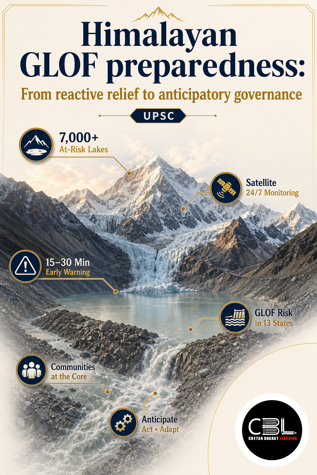
The Ministry of Home Affairs (MHA) recently directed Himalayan states to drastically enhance their Himalayan GLOF preparedness by transitioning from reactive disaster management to proactive, community-level early warning systems. This strategic pivot follows devastating flash floods in the region that highlighted the severe vulnerabilities of mountain communities to rapidly evolving climatic and geological hazards. Students can track similar environmental updates in our daily current affairs archive regularly. The administration is now prioritizing anticipatory risk governance over traditional post-disaster relief.
What is Himalayan GLOF preparedness?
A Glacial Lake Outburst Flood (GLOF) occurs when the natural moraine or ice dam holding back a glacial lake fails, releasing millions of cubic metres of water, ice, and sediment downstream. In the fragile Himalayan biome, these events rarely occur in isolation; they trigger cascading hazards. A glacial detachment can block a river, form a temporary lake, and subsequently breach, creating a highly destructive debris flow that travels over a hundred kilometres.
Effective preparedness requires moving beyond simple hazard zoning to understanding ‘hazard constellations’—where climate-induced glacier retreat interacts with heavy rainfall, seismic activity, and infrastructure expansion. Because these events travel across sovereign frontiers within minutes, preparedness must inherently involve transboundary data sharing and localized community resilience.
Why is Himalayan GLOF preparedness in News?
The recent catastrophic flash floods in Nepal, which claimed over a thousand lives and destroyed critical hydropower infrastructure, have exposed severe gaps in regional risk monitoring. Experts note that identifying vulnerable glaciers across the vast, remote Himalayan terrain is like “looking for needles in haystacks.” You can review disaster management guidelines via the NDMA portal for precise mitigation frameworks.
In response, the MHA and space agencies have accelerated mapping exercises to identify high-risk glacial lakes. However, experts emphasize that remote sensing alone is insufficient. The focus has now shifted to building a multi-source early warning ecosystem that integrates satellite imagery, fixed hydromet stations, and crucially, the traditional ecological knowledge of local communities, such as yak herders and fishermen.
Key Features
- Multi-Source Monitoring: Combining satellite remote sensing with ground-based seismic and river gauge networks to separate actionable hazard signals from environmental noise.
- Community-Based Early Warning: Empowering local disaster management committees to monitor micro-changes in river flow and glacier behavior, bridging the gap left by data sparsity.
- Anticipatory Governance: Shifting the administrative mindset from post-disaster relief and reconstruction to proactive risk identification and climate-resilient infrastructure planning.
- Transboundary Reality: Recognizing that Himalayan rivers and atmospheric systems ignore national borders, necessitating real-time hydrological data sharing between upper and lower riparian states.
Challenges
- Data Sparsity: The region suffers from a severe lack of automated weather stations, river gauges, and continuous real-time telemetry, making predictive modelling highly uncertain.
- Infrastructure Vulnerability: Extensive, unregulated construction of run-of-the-river hydropower projects and highways exacerbates geological instability and turns natural hazards into massive human disasters.
- Geopolitical Suspicion: Upper riparian nations are often reluctant to share real-time hydrological data or structural assessments of artificial dams with downstream countries due to broader strategic rivalries.
- Complex Etiology: Disentangling whether a specific disaster was triggered by a cloudburst, seismic tremor, or long-term permafrost thaw remains scientifically challenging, complicating early warning triggers.
Way Forward
The administration must establish a dedicated Himalayan Risk Observatory that pools satellite data, ground sensors, and community reports into a unified regional grid. Mandating cumulative environmental impact assessments for all infrastructure projects in high-altitude catchments will prevent ecological overloading. Providing dedicated financial incentives for decentralized biomass economies will reduce the pressure on fragile mountain slopes.
Check the latest ISRO updates for strategic space-based disaster monitoring frameworks. The government must actively pursue diplomatic channels to institutionalize tripartite ecological cooperation between India, Nepal, and China. This unified approach will significantly accelerate the transition toward a climate-resilient and secure Himalayan biome.
Prelims Practice Corner
Q1. What does the acronym GLOF stand for in the context of Himalayan disasters?
- (a) Global Lake Overflow Framework
- (b) Glacial Lake Outburst Flood
- (c) Geological Landslide and Overflow Event
- (d) Glacier-Led Oscillation Flood
Answer: (b) Glacial Lake Outburst Flood, occurring when a natural dam holding back a glacial lake fails.
Q2. Which of the following best describes a ‘cascading hazard’ in the Himalayas?
- (a) A single event like an earthquake
- (b) A sequence where one hazard triggers another, e.g., landslide blocking a river which later breaches
- (c) Seasonal monsoon flooding
- (d) Urban heat island effect
Answer: (b) Cascading hazards involve a chain reaction, such as a glacial detachment creating a dam that eventually bursts into a flash flood.
Q3. Why do experts compare monitoring Himalayan glaciers to “looking for a needle in a haystack”?
- (a) Glaciers are too small to see
- (b) The vast, remote terrain and data sparsity make identifying specific vulnerable sites extremely difficult
- (c) Satellites cannot penetrate cloud cover
- (d) The government lacks funding for research
Answer: (b) The sheer scale of the terrain, combined with limited ground sensors and interacting variables, makes pinpointing exact failure points highly challenging.
Q4. What is the third crucial component of the multi-source early warning ecosystem, alongside satellites and fixed station networks?
- (a) International NGO funding
- (b) Localized community monitoring and traditional knowledge
- (c) Military radar systems
- (d) Commercial drone swarms
Answer: (b) Localized monitoring by communities, yak herders, and fishermen is essential to detect ground-level changes that satellites might miss.
Q5. Which human activity has significantly compounded the vulnerability of the Himalayas to GLOFs and flash floods?
- (a) Organic farming
- (b) Extensive run-of-the-river hydropower projects and tunneling
- (c) Afforestation drives
- (d) Eco-tourism regulations
Answer: (b) Extensive drilling, tunneling, and dam construction shake up the fragile geology and increase vulnerability to seismic and hydrological shocks.
Mains Practice Questions
Q1. Discuss the concept of ‘cascading hazards’ in the Himalayan region and why traditional reactive disaster management is insufficient to address them. (10 marks)
Answer Structure:
- Intro: Define GLOFs and cascading hazards, illustrating how a single trigger like glacial detachment can lead to river blockages and subsequent catastrophic debris flows.
- Body: Explain the interaction between fragile young geology, climate-induced glacier retreat, and infrastructure expansion. Highlight why post-disaster relief fails when entire communication and transport networks are wiped out in minutes.
- Conclusion: Conclude that India must shift toward anticipatory risk governance, integrating multi-source early warning systems and ecosystem-based carrying capacity assessments.
Q2. “Monitoring the Himalayas is like finding a needle in a haystack. Overcoming this requires blending space technology with traditional community knowledge and transboundary cooperation.” Analyze. (15 marks)
Answer Structure:
- Intro: Highlight the MHA’s push for proactive GLOF preparedness and the inherent challenges of data sparsity and vast remote terrains in the Himalayas.
- Body: Analyze the limitations of relying solely on satellite remote sensing. Discuss the necessity of a multi-source ecosystem involving ground sensors and localized community monitoring (e.g., yak herders). Address the geopolitical hurdles of real-time hydrological data sharing with upper riparian states.
- Conclusion: Suggest that establishing an institutionalized tripartite mechanism among India, Nepal, and China for ecological transparency and joint scientific expeditions is vital for regional survival.
FAQs
Why are Himalayan hydropower projects considered a double-edged sword?
While they provide essential low-carbon renewable energy, the extensive drilling, tunneling, and dam construction required shake up the fragile geology of the young mountains. This makes the region highly prone to earthquakes and landslides, turning natural hazards into massive infrastructural and human disasters when GLOFs or cloudbursts occur.
How does community knowledge complement satellite monitoring?
Satellites provide broad hazard zoning but often miss micro-level changes. Local communities, such as yak herders and fishermen, possess generational ecological knowledge. They can notice subtle changes in river flow, glacier behavior, and oral histories of past avalanches that science has not yet recorded, helping authorities pinpoint exact hotspots for ground sensors.
What is the main geopolitical hurdle in managing Himalayan river basins?
The primary hurdle is the lack of transparency and real-time data sharing between upper riparian states (like China) and lower riparian states (like India and Nepal). Downstream communities are often left in the dark regarding upstream artificial dam operations or natural landslide blockages, leaving them with zero warning time when a catastrophic water pulse crosses the border.
Related Current Affairs
Preparing for UPSC, PCS or HCS?
Talk to a mentor at Chetan Bharat Learning, Chandigarh. Free guidance on choosing the right exam and building a study plan.
Chat on WhatsAppCall 97793 53345UPSC / IAS / PCS coaching in Chandigarh · Trusted by aspirants across Punjab & Haryana
Leave a Reply
You must be logged in to post a comment.