
UPSC Syllabus Mapping
- GS Paper: GS-I, GS-II & GS-III
- Subject: Geography, International Relations, Environment and Water Resources
- Syllabus Pointers: Prep with our comprehensive UPSC Current Affairs Hub analysis guidelines.
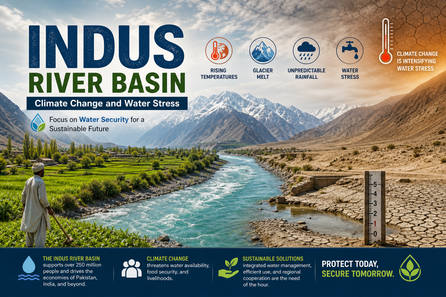
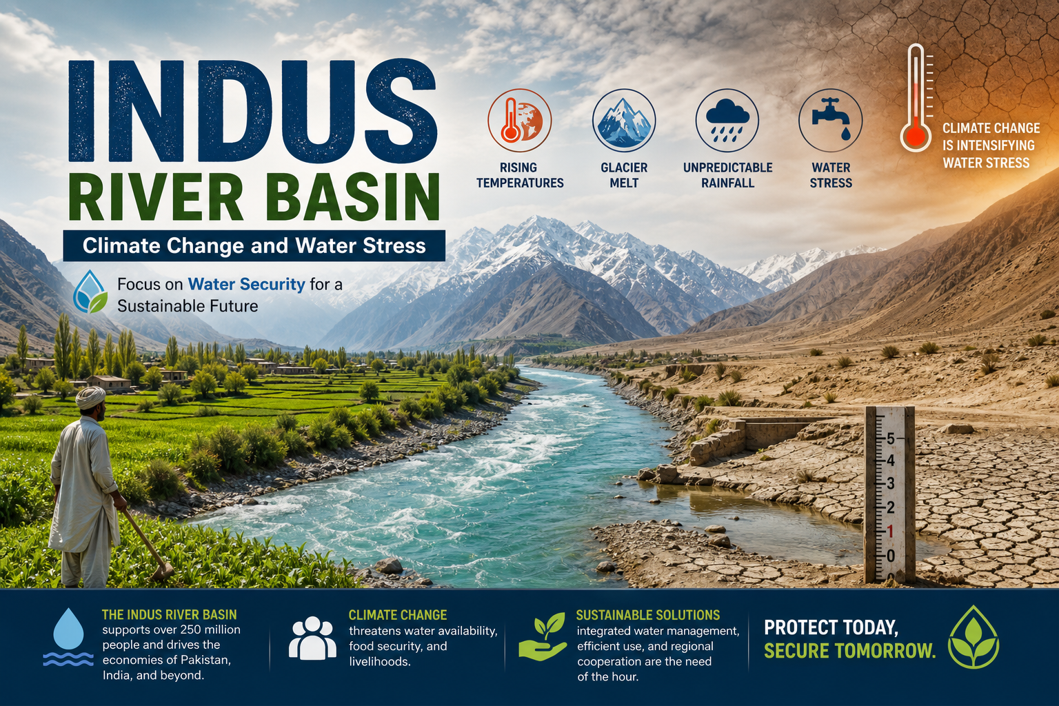
Recent updates regarding Indus River Basin highlight a new scientific study reporting a significant decline in rainfall across the eastern river basins since 1951. The findings indicate changing hydro-climatic conditions, declining reservoir inflows and groundwater depletion, raising concerns about long-term water security and the relevance of assumptions underlying the Indus Waters Treaty (1960).
Key Dimensions of Indus River Basin
The Indus River Basin is one of the world’s largest river systems and comprises six major rivers—Indus, Jhelum, Chenab, Ravi, Beas and Sutlej. Under the Indus Waters Treaty (1960), the eastern rivers (Ravi, Beas and Sutlej) are allocated primarily to India, while the western rivers (Indus, Jhelum and Chenab) are allocated primarily to Pakistan, subject to treaty provisions.
A river basin is the entire geographical area drained by a river and its tributaries, whereas a catchment refers to the land area from which rainfall flows into a particular river or reservoir.
Major Findings of the Study
The study indicates that rainfall in the eastern catchments has declined by nearly 20% between 1951 and 2024, while western rivers show comparatively smaller changes. Reservoir inflows into eastern reservoirs have reduced significantly, affecting irrigation and hydropower generation.
Groundwater extraction has increased to compensate for reduced surface water availability. Climate change, glacier retreat, erratic monsoons and rising irrigation demand are altering the hydrological balance across the basin.
Why Does It Matter?
The Indus Waters Treaty was negotiated using hydrological assumptions prevailing in the late 1950s. Changing rainfall patterns, glacier dynamics, groundwater depletion and increasing water demand have altered the basin’s hydro-climatic reality.
These changes have implications for agriculture, drinking water, hydropower generation, interstate water management and India-Pakistan water diplomacy. Climate resilience and integrated river basin management are becoming increasingly important.
For additional background, refer to global developmental tracking frameworks.
Way Forward
India should adopt integrated river basin management, improve hydrological monitoring, strengthen water-use efficiency, expand climate-resilient infrastructure and promote scientific data sharing. Sustainable groundwater management, watershed development and climate adaptation should become central pillars of long-term water security.
Prelims Practice Corner
Q1. Which of the following rivers are classified as the eastern rivers under the Indus Waters Treaty?
- a) Indus, Jhelum, Chenab
- b) Ravi, Beas and Sutlej
- c) Ravi, Chenab and Jhelum
- d) Indus, Ravi and Beas
Answer: (b) Ravi, Beas and Sutlej
Q2. A river basin is best defined as:
- a) Only the main river channel
- b) The area drained by a river and its tributaries
- c) A reservoir catchment only
- d) A floodplain
Answer: (b) A river basin includes the complete geographical area drained by a river and all its tributaries.
Mains Practice Question
“Climate change is reshaping the hydrology of the Indus River Basin, raising fresh challenges for water security and transboundary river management.” Discuss. (150 Words, 10 Marks)
FAQs
Why is the Indus River Basin important for UPSC? It connects geography, climate change, international relations, water resources, agriculture, disaster management and environmental governance, making it relevant across multiple General Studies papers.
Related Current Affairs
Preparing for UPSC, PCS or HCS?
Talk to a mentor at Chetan Bharat Learning, Chandigarh. Free guidance on choosing the right exam and building a study plan.
Chat on WhatsAppCall 97793 53345UPSC / IAS / PCS coaching in Chandigarh · Trusted by aspirants across Punjab & Haryana
Leave a Reply
You must be logged in to post a comment.