
UPSC Mapping
Prelims
Environment & Geography
Mains
GS Paper III – Disaster Management
Quick Facts
| Glacier Area | 48,000 sq km in Himalaya |
|---|---|
| Hazardous Lakes | About 500 Flagged |
| Recorded GLOF Events | 388 So Far |
| Sikkim GLOF 2023 | Teesta-III Dam Destroyed |
What is the Himalayan GLOF Crisis?
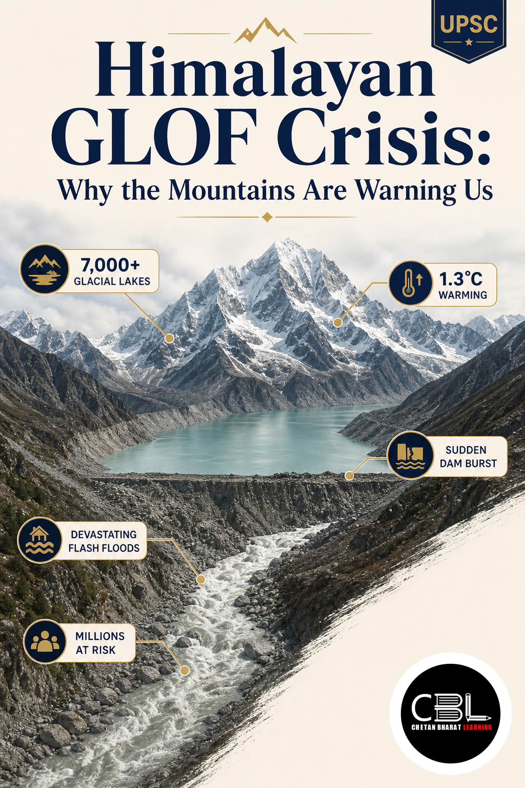
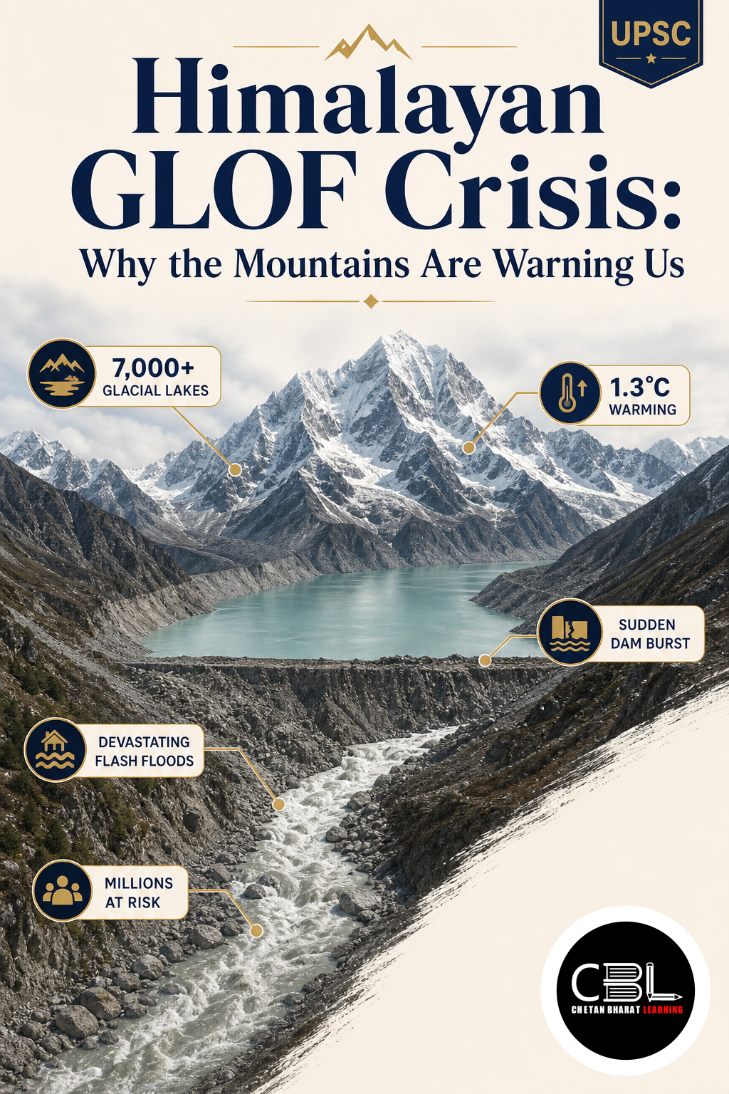
A Glacial Lake Outburst Flood, or GLOF, happens when a natural barrier holding a glacial lake, often made of loose moraine debris, fails suddenly and releases a massive volume of water downstream. The Himalayan GLOF crisis stems from the fact that the Himalayas are geologically young, tectonically active and covered by melting glaciers, snowfields and permafrost.
Rising temperatures accelerate glacier melting and retreat, expanding lakes held back by unstable natural barriers. Triggers include avalanches, landslides, icefall, heavy rainfall, earthquakes and sudden pressure build-up, all of which raise the risk of a highly destructive flood carrying boulders, debris and enormous water volume through narrow valleys.
Why is the Himalayan GLOF Crisis in News?
A glacial collapse near the Nepal-China border recently sent a wall of water and mud down the Bhote Koshi river, following a pattern seen in Sikkim’s 2023 South Lhonak Lake disaster and the 2021 Rishiganga flood in Uttarakhand. Studies from IIT Roorkee, IISc Bengaluru and international universities have flagged instability around several Himalayan lakes.
Scientists warn that under-construction hydropower projects near unstable terrain, including China’s giant Medog dam project, could face major risk if a large earthquake or GLOF strikes. Technical assessments are available via IPCC reports on Himalayan cryosphere change.
Key Features
- Geologically young terrain: Tectonic activity along the Indian and Eurasian plates makes the region earthquake-prone.
- Fragile terrain features: Steep slopes, high relief, narrow valleys and fragile rocks amplify disaster impact.
- Climatic sensitivity: Glaciers, snowfields and permafrost are all highly responsive to warming.
- Transboundary nature: Shared rivers mean a disaster upstream in Tibet or Nepal can affect communities far downstream in India.
- Development-disaster tension: Roads, hydropower and tourism infrastructure raise both economic value and ecological risk.
Challenges
- Weak transboundary cooperation: Glacier monitoring and early warning remain largely national rather than shared.
- Limited real-time monitoring: Many glacial lakes lack adequate satellite and sensor-based tracking systems.
- Infrastructure exposure: Hydropower stations and pilgrimage routes sit directly in high-risk flood paths.
- Carrying capacity ignored: Development often proceeds without assessing how much human activity the ecosystem can sustain.
- Political sensitivities: Data-sharing on glacial lakes with China remains inconsistent.
Way Forward
Experts recommend systematic cryosphere monitoring using satellite, remote sensing and drone-based surveys, alongside strengthened early warning systems for vulnerable communities. Transboundary cooperation on data-sharing, flood forecasting and disaster alerts between India, China, Nepal and Bhutan is essential given the shared river systems.
Basin-level and cumulative impact assessments, rather than isolated project clearances, would better capture the combined effect of dams, roads, tunnels and tourism. Guidance from the National Disaster Management Authority can help align infrastructure planning with climate-resilient, location-sensitive standards.
Prelims Practice Corner
Q1. GLOF stands for which of the following?
- (a) Ground Level Outflow
- (b) Glacial Lake Outburst Flood
- (c) Glacier Loss and Overflow
- (d) Geological Landslide Outburst Formation
Answer: (b) Glacial Lake Outburst Flood.
Q2. Which Sikkim lake was linked to a major GLOF disaster in 2023?
- (a) Gurudongmar Lake
- (b) South Lhonak Lake
- (c) Tsomgo Lake
- (d) Khecheopalri Lake
Answer: (b) South Lhonak Lake’s outburst destroyed the Teesta-III dam in 2023.
Q3. The cryosphere refers to which of the following components?
- (a) Only glaciers
- (b) Glaciers, snow, permafrost and ice
- (c) Only permafrost
- (d) Rivers and lakes only
Answer: (b) The cryosphere includes glaciers, snow, permafrost and ice.
Q4. Which of the following is NOT a typical GLOF trigger?
- (a) Avalanche
- (b) Earthquake
- (c) Heavy rainfall
- (d) Ocean tides
Answer: (d) Ocean tides are unrelated; the rest are common GLOF triggers.
Q5. Himalayan disaster risk is best described as which type of problem?
- (a) Purely national
- (b) Transboundary
- (c) Only urban
- (d) Only coastal
Answer: (b) Shared rivers make Himalayan disaster risk a transboundary problem.
Mains Practice Questions
Q1. Discuss the causes of Glacial Lake Outburst Floods in the Himalayas and suggest measures for disaster risk reduction. (15 marks)
Answer Structure
- Intro: Define GLOF and note the Himalaya’s climatic vulnerability.
- Body: Cover triggers (avalanche, earthquake, rainfall), recent examples (Sikkim, Uttarakhand), and mitigation measures like early warning and cryosphere monitoring.
- Conclusion: Emphasise basin-level planning and transboundary cooperation.
Q2. “Development in the Himalayas must balance infrastructure needs with ecological carrying capacity.” Critically examine. (15 marks)
Answer Structure
- Intro: Present the development versus disaster-risk dilemma in the Himalayas.
- Body: Discuss hydropower, roads, tourism pressures against seismic and GLOF risk; mention carrying capacity as a UPSC concept.
- Conclusion: Call for cumulative impact assessment and climate-resilient planning.
FAQs on Himalayan GLOF Crisis
What causes a Glacial Lake Outburst Flood?
A GLOF occurs when the natural barrier of a glacial lake, often loose moraine, fails due to triggers like avalanches, earthquakes or heavy rainfall, releasing a sudden flood of water and debris.
Why are the Himalayas especially vulnerable to such disasters?
The Himalayas are geologically young, tectonically active and climatically sensitive, with steep slopes and unstable terrain that amplify flood and landslide risk.
How can transboundary cooperation help reduce GLOF risk?
Since Himalayan rivers cross national boundaries, sharing glacier and weather data between India, China, Nepal and Bhutan can improve early warning and reduce downstream disaster impact.
Related Current Affairs
Preparing for UPSC, PCS or HCS?
Talk to a mentor at Chetan Bharat Learning, Chandigarh. Free guidance on choosing the right exam and building a study plan.
Chat on WhatsAppCall 97793 53345UPSC / IAS / PCS coaching in Chandigarh · Trusted by aspirants across Punjab & Haryana
Leave a Reply
You must be logged in to post a comment.