
UPSC Mapping
| Prelims | Space Technology and Remote Sensing |
|---|---|
| Mains | GS Paper III: Science, Environment and Agriculture |
Quick Facts
| Mission Type | Earth Observation |
|---|---|
| Partners | ISRO and CNES |
| Scheduled Launch | 2027 |
| Orbit | 761-km Sun-synchronous |
| Mission Life | 5 years |
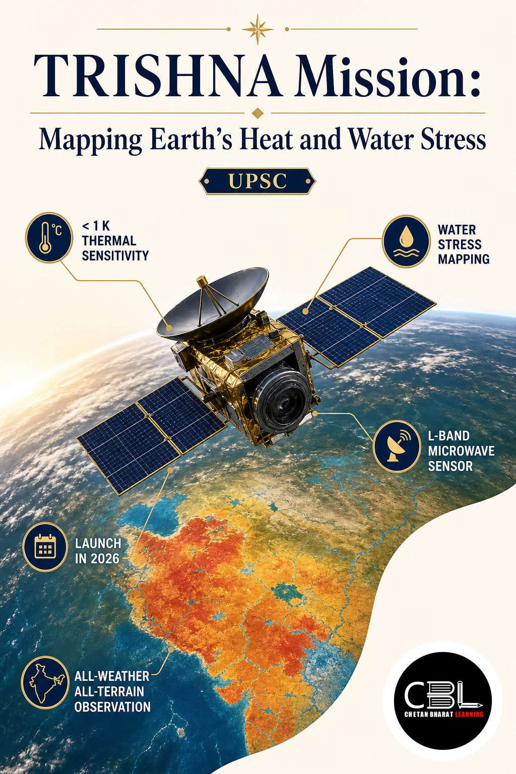
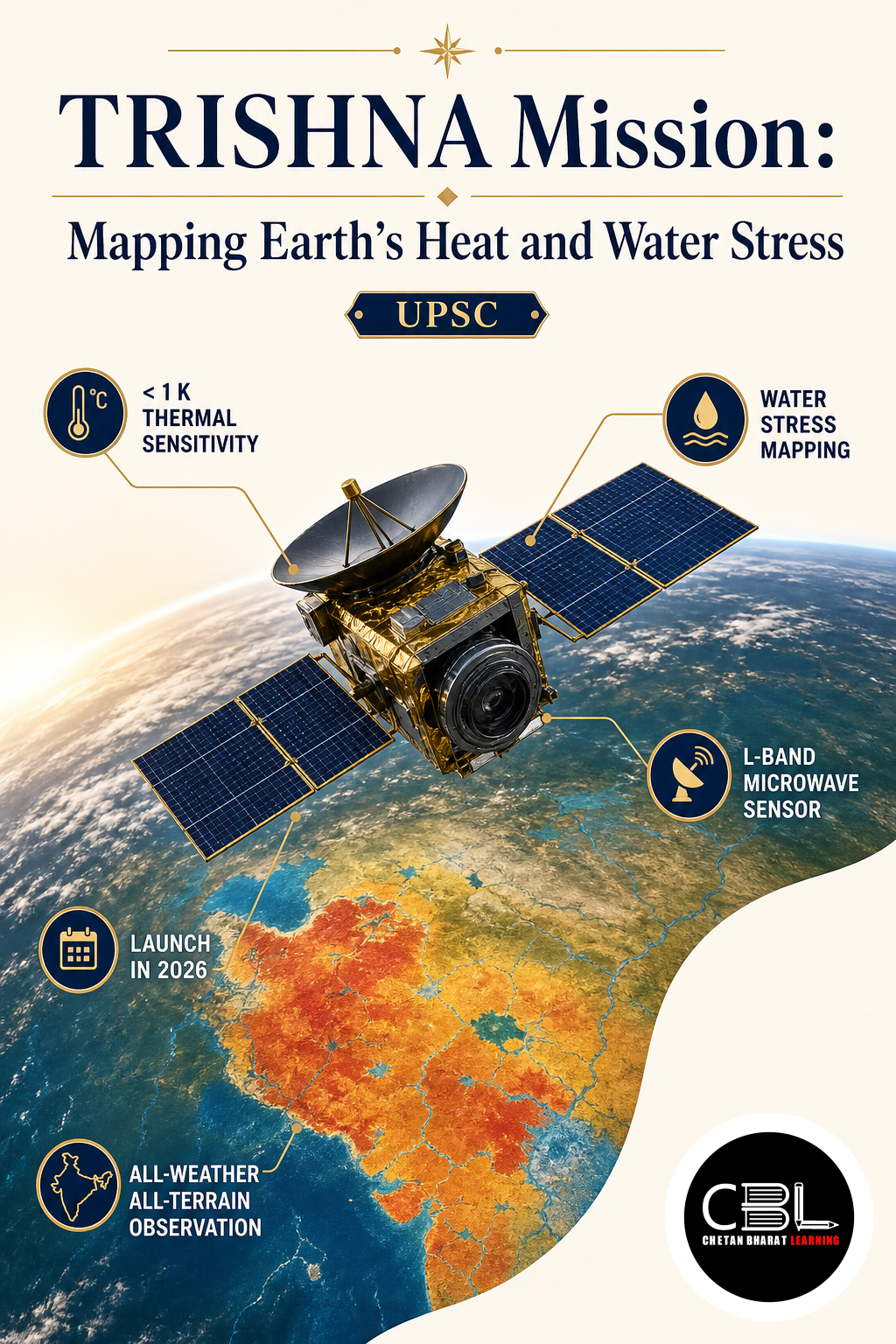
TRISHNA Mission will give scientists detailed thermal views of Earth’s land and coastal surfaces. The Indo-French satellite will combine thermal imaging with reflected-light observations to study water stress, surface energy and environmental change. Its findings could support agriculture, water planning, climate research and urban heat management.
What is TRISHNA Mission?
TRISHNA Mission expands to Thermal Infra-Red Imaging Satellite for High-resolution Natural Resource Assessment. The Indian Space Research Organisation and France’s Centre National d’Études Spatiales are jointly developing this Earth observation satellite. It aims to measure surface temperature, emissivity, biophysical properties and radiation variables with strong spatial detail and frequent repeat coverage.
Surface temperature reveals how solar energy moves through soil, vegetation, water, snow and built-up areas. Scientists can combine temperature with reflectance and atmospheric information to estimate evapotranspiration, plant water stress and surface heat flows; these measurements can show whether crops use irrigation efficiently, how cities retain heat and how inland or coastal waters change over time. The satellite will therefore connect physical observations with resource-management decisions at local, regional and global scales.
Why is TRISHNA Mission in News?
The TRISHNA Mission returned to attention after France’s space agency confirmed that the satellite remains under development for launch in 2027. CNES lists delivery of its thermal instrument to India during 2026 as a key programme milestone. The current schedule advances a long-running partnership in which both countries contribute specialised sensors, engineering and scientific expertise.
The ISRO mission overview identifies water and food security as major application areas. It also explains how the satellite can observe urban heat islands, snowmelt, glacier behaviour, volcanic thermal anomalies and water quality; these applications place climate adaptation, agricultural productivity and environmental monitoring within a common remote-sensing framework. The collaboration also demonstrates how international missions can divide payload responsibilities while producing shared scientific data.
Key Features
The satellite combines two complementary instruments, a carefully chosen orbit and repeated observations for high-resolution environmental monitoring. Together, these design choices aim to resolve local temperature patterns without sacrificing frequent coverage across wider regions. The combined record can separate short-lived anomalies from recurring seasonal behaviour and support informed decisions based on trends rather than isolated images.
- Thermal Infra-Red payload: CNES provides a four-channel long-wave infrared imager that will map land-surface temperature and emissivity, allowing scientists to distinguish heat patterns associated with vegetation, soils, water bodies, urban materials and geological activity across agricultural, urban, coastal and mountainous landscapes.
- VNIR-SWIR payload: ISRO develops the seven-band Visible, Near Infra-Red and Short-Wave Infra-Red instrument for surface-reflectance mapping, supplying biophysical and radiation variables that complement thermal readings and strengthen surface energy-balance calculations used for consistent heat-flux and water-use estimates.
- Sun-synchronous orbit: The satellite will operate about 761 kilometres above Earth with a midday equatorial crossing time, providing comparable illumination conditions and systematic coverage for analysing changes across repeated observations without large variations caused solely by observation timing.
- Detailed repeat imaging: CNES expects observations of the same equatorial location about every three days, with camera resolution ranging from roughly 57 to 90 metres and standard products prepared at 60-metre resolution for analysis by scientific and operational users.
- Five-year operational design: The planned mission life will support seasonal and multi-year comparisons involving drought, irrigation demand, vegetation stress, urban heat, permafrost, snow cover, coastal processes and other environmental variables across several cropping cycles and hazard seasons.
Challenges
Turning satellite measurements into public value requires accurate calibration, usable data products and strong cooperation between scientists and decision-makers. Each processing stage must retain documented uncertainty so users understand what the imagery can and cannot establish. Agencies must also define responsibility for validation, release schedules, corrections and public feedback when operational users question a derived product.
- Cloud and atmospheric interference: Clouds, aerosols and water vapour can obstruct or distort optical and thermal observations, requiring reliable screening, atmospheric correction and complementary ground measurements before analysts interpret surface conditions or compare observations collected under different atmospheric conditions.
- Temperature interpretation: A hot surface does not automatically prove water scarcity or crop stress because soil type, vegetation stage, weather and farming practices also affect readings, making contextual data and validated models essential for responsible advisories and policy conclusions.
- Calibration consistency: Two payloads from different agencies must maintain precise geometric, spectral and radiometric alignment so researchers can combine their observations without introducing artificial differences across locations or dates during long-term environmental comparison and trend analysis.
- Last-mile data use: Farmers, cities and watershed managers need timely advisories rather than complex satellite files, demanding processing capacity, regional models, trained institutions and communication systems that translate imagery into practical decisions at the district, city, watershed and farm levels.
- Continuity and access: A five-year mission cannot alone establish every long-term climate trend, so agencies must connect its products with earlier and later satellite records while maintaining discoverable archives and equitable researcher access through sound public data governance, interoperable formats and transparent documentation.
Way Forward
ISRO, CNES and Indian user agencies should prepare application pipelines before launch, using field campaigns to test algorithms across diverse crops, cities, coasts and Himalayan terrain. The TRISHNA Mission can deliver greater value when States, universities and research centres receive training to interpret thermal products alongside local weather, land-use and water data. Open standards and documented uncertainty will help users compare results responsibly rather than treat every temperature difference as a direct policy signal.
The CNES project profile highlights the mission’s potential for irrigation efficiency, water management and land planning. Agencies should convert that potential into seasonal advisories, urban heat assessments and watershed indicators that officials can test against outcomes; international scientific access can also improve algorithms across varied climates and create comparable Essential Climate Variables. A durable programme should preserve data, publish validation results and coordinate future observations beyond the satellite’s planned lifetime.
Prelims Practice Corner
Q1. TRISHNA is a collaborative satellite project between which two agencies?
(a) ISRO and NASA (b) ISRO and JAXA (c) ISRO and CNES (d) ISRO and ESA
Show answer
Answer: (c) ISRO and France’s CNES are jointly developing the satellite.
Q2. What is the mission’s principal observation domain?
(a) Solar wind (b) Earth’s surface temperature (c) Deep-space radio signals (d) Lunar minerals
Show answer
Answer: (b) It will conduct detailed and repeated thermal observations of Earth’s surface.
Q3. Which payload responsibility is correctly matched?
(a) TIR—CNES (b) TIR—ISRO only (c) VNIR-SWIR—NASA (d) VNIR-SWIR—JAXA
Show answer
Answer: (a) CNES provides the four-channel Thermal Infra-Red payload.
Q4. Consider the following statements: 1. The satellite will occupy a sun-synchronous orbit. 2. Its planned operational life is five years. Which is correct?
(a) 1 only (b) 2 only (c) Both 1 and 2 (d) Neither 1 nor 2
Show answer
Answer: (c) Both the orbit and five-year design life appear in official mission details.
Q5. Which application is least directly associated with the mission?
(a) Evapotranspiration monitoring (b) Urban heat mapping (c) Glacier studies (d) Gravitational-wave detection
Show answer
Answer: (d) The mission observes terrestrial thermal and environmental variables, not gravitational waves.
Mains Practice Questions
Q1. Explain how thermal remote sensing can support water and food security in India. (150 words, 10 marks)
Answer Structure:
- Intro: Define thermal remote sensing and surface-temperature observation.
- Body: Cover evapotranspiration, crop stress, irrigation planning, drought monitoring and watershed management.
- Conclusion: Link satellite products with local measurements and farmer advisories.
Q2. Discuss the opportunities and limitations of international Earth observation missions for climate-resilient development. (250 words, 15 marks)
Answer Structure:
- Intro: Frame international cooperation as shared technology and scientific capacity.
- Body: Examine complementary payloads, data sharing, agriculture and urban applications, calibration, clouds, continuity and last-mile use.
- Conclusion: Recommend open, validated and user-oriented data systems with long-term observation continuity.
FAQs on TRISHNA Mission
What does the satellite’s name expand to?
TRISHNA expands to Thermal Infra-Red Imaging Satellite for High-resolution Natural Resource Assessment. Its name reflects the mission’s emphasis on detailed thermal observation and resource management.
When is the satellite scheduled for launch?
CNES currently lists the launch for 2027 and describes the project as under development. Mission schedules may change as testing and integration progress.
How can thermal imaging help agriculture?
Surface-temperature patterns help scientists estimate evapotranspiration and identify possible plant water stress. Combined with field information, these products can support irrigation planning and crop-water productivity.
Related Current Affairs
Preparing for UPSC, PCS or HCS?
Talk to a mentor at Chetan Bharat Learning, Chandigarh. Free guidance on choosing the right exam and building a study plan.
Chat on WhatsAppCall 97793 53345UPSC / IAS / PCS coaching in Chandigarh · Trusted by aspirants across Punjab & Haryana
Leave a Reply
You must be logged in to post a comment.