

UPSC Mapping
- Prelims: Disaster Management & Environment
- Mains: GS Paper 3 (Environment & Disaster)
Article
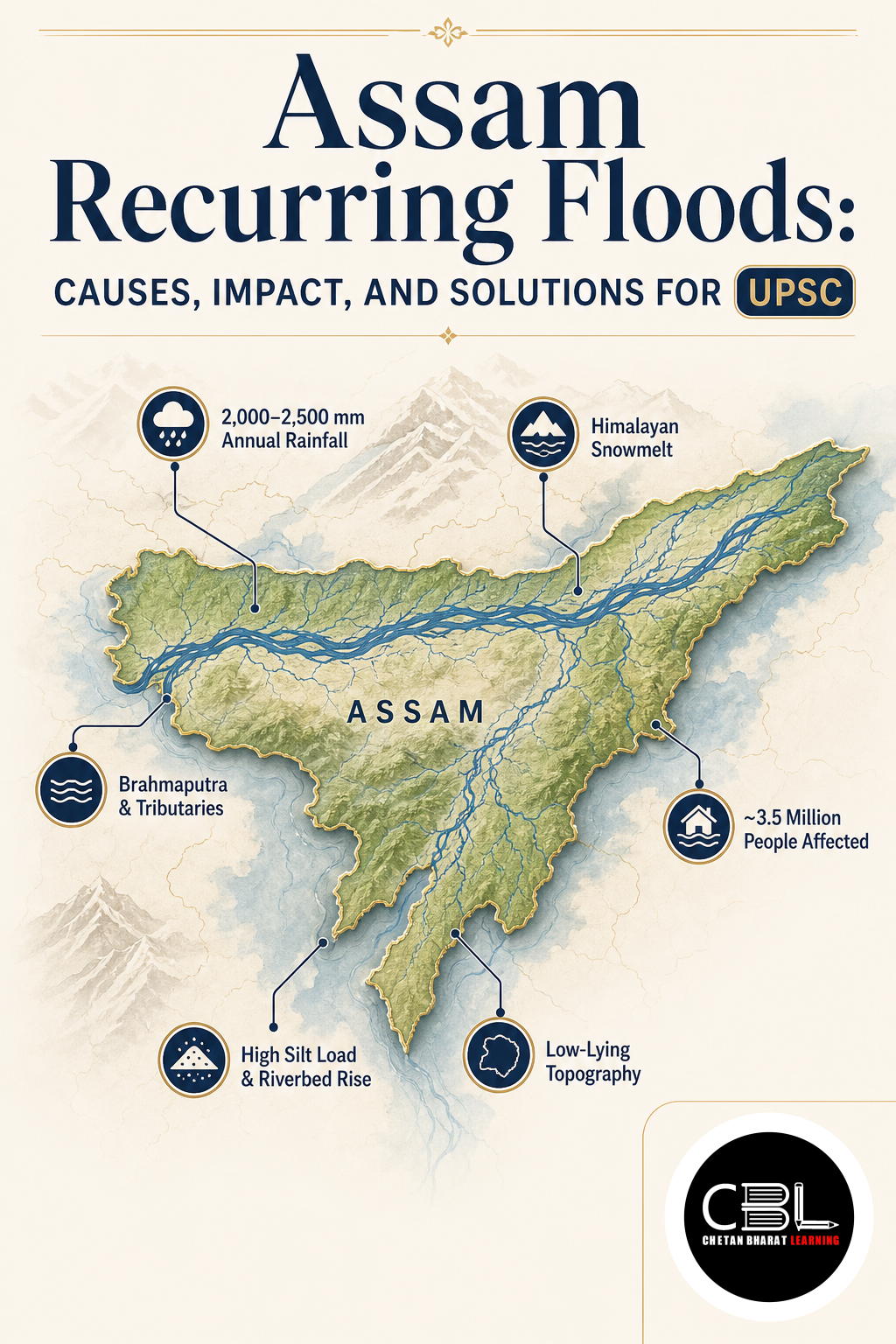
Assam Recurring Floods have become an annual calamity, with the state witnessing devastating inundation year after year. The interplay of intense monsoons, rapid riverbed siltation, and anthropogenic factors has made Assam one of India’s most flood-prone regions. For comprehensive coverage of such environmental issues, explore the environment current affairs archive.
Quick Facts
| Flood-Prone Area | 31.05 lakh hectares |
|---|---|
| Erosion since 1950 | 4.27 lakh ha |
| Annual Sediment | ~1000 million tonnes |
| Embankments Expired | 295 out of 423 |
What are Assam Recurring Floods?
Assam Recurring Floods refer to the annual inundation of large parts of the state, driven by a combination of natural and human-induced factors. Over 40 million hectares (about 12% of India’s geographical area) are vulnerable to floods, with the Ganga and Brahmaputra basins carrying roughly 60% of the national flood burden. Assam, along with Bihar and West Bengal, ranks among the most flood-prone states.
The Brahmaputra river, fed by a 580,000 sq km transboundary basin, carries an enormous sediment load—up to 1,000 million tonnes annually—which raises the riverbed above its natural banks. This, combined with intense monsoon rainfall (cloudbursts can deliver 435% to 490% above normal), overwhelms the valley’s drainage capacity, causing widespread devastation.
Why are Assam Recurring Floods in News?
Assam Recurring Floods have been in the news due to the annual cycle of devastation, with recent years witnessing severe losses to life, property, and agriculture. The state has experienced repeated flooding in 2026, prompting discussions on long-term mitigation measures. The average annual flood damage rose from ₹1,805 crore before 1996 to ₹4,745 crore from 1996 to 2005, and continues to escalate.
Additionally, the expiry of design lives for 295 out of 423 earthen embankments has made them highly vulnerable to breaching under peak flood conditions, exacerbating the crisis. For official data, refer to this PIB release.
Key Features of Assam Recurring Floods
- Topographical Funnel: Hill-funneled runoff from a vast basin overwhelms the narrow valley’s drainage capacity.
- Riverbed Aggradation: Annual sediment deposit of ~1,000 million tonnes elevates the Brahmaputra riverbed above its natural banks.
- Extensive Erosion: Braided river channels have eroded 4.27 lakh hectares since 1950, widening the river by over 15 km in places.
- Intense Rainfall: Cloudbursts delivering rainfall 435% to 490% above normal trigger flash floods in tributaries.
- Capacity Loss: The 1950 earthquake’s landslide debris permanently reduced the valley’s flood-carrying capacity.
Challenges in Managing Assam Recurring Floods
- Structural Decay: 295 of 423 embankments have expired design lives, making them prone to breaching.
- Basin Depletion: Encroachment reduced Deepor Beel from ~4,000 hectares to ~500 hectares, destroying natural water absorbers.
- Runoff Acceleration: Deforestation of 800 sq km of upstream forest in Nagaland between 2013 and 2023 has increased runoff.
- Drainage Blockade: Construction on 31.05 lakh hectares of flood-prone area blocks natural drainage paths.
- Transboundary Complexity: The Brahmaputra is an international river, requiring cooperation with China and Bhutan for integrated management. For more on transboundary issues, visit the international relations section.
Way Forward for Assam Recurring Floods
Addressing Assam Recurring Floods requires a multi-pronged approach. Immediate measures include strengthening and raising embankments, restoring wetlands like Deepor Beel, and implementing early warning systems. Long-term solutions involve afforestation in upstream catchments, sustainable land-use planning, and construction of resilient infrastructure.
Transboundary cooperation with China and Bhutan for data sharing and joint flood management is essential. India should also invest in modern flood forecasting using satellite and AI technologies. A holistic approach that combines structural and non-structural measures, with active community participation, can significantly reduce the impact of recurring floods. For international best practices, refer to the UNDRR.
Prelims Practice Corner
-
Q1. Which river basin carries the major flood burden in Assam?
- (a) Ganga
- (b) Brahmaputra
- (c) Mahanadi
- (d) Godavari
Answer: (b) The Brahmaputra basin is the primary source of recurrent floods in Assam.
-
Q2. Approximately how much sediment is deposited annually in the Brahmaputra river?
- (a) 100 million tonnes
- (b) 500 million tonnes
- (c) 1,000 million tonnes
- (d) 2,000 million tonnes
Answer: (c) Up to 1,000 million tonnes of sediment is deposited annually, raising the riverbed.
-
Q3. How many embankments in Assam have expired their design lives?
- (a) 150
- (b) 295
- (c) 423
- (d) 500
Answer: (b) 295 out of 423 earthen embankments have expired design lives.
-
Q4. What was the area of Deepor Beel before encroachment?
- (a) ~500 hectares
- (b) ~2,000 hectares
- (c) ~4,000 hectares
- (d) ~10,000 hectares
Answer: (c) Deepor Beel originally covered ~4,000 hectares but has shrunk to ~500 hectares.
-
Q5. Which event’s landslide debris reduced the flood-carrying capacity of the Brahmaputra valley?
- (a) 1950 earthquake
- (b) 1970 cyclone
- (c) 2004 tsunami
- (d) 2013 flood
Answer: (a) The 1950 earthquake’s landslide debris permanently reduced the valley’s flood-carrying capacity.
Mains Practice Questions
-
Q1. Analyse the natural and anthropogenic factors contributing to recurring floods in Assam. Suggest long-term mitigation measures. (250 words, 15 marks)
Answer Structure:
- Intro: Introduce Assam as one of India’s most flood-prone states.
- Body: Discuss natural factors: topographical funnel, siltation, rainfall extremes. Anthropogenic: embankment decay, deforestation, wetland encroachment. Suggest measures: embankment strengthening, wetland restoration, afforestation, transboundary cooperation.
- Conclusion: Emphasise a holistic approach integrating structural and non-structural interventions.
-
Q2. Discuss the role of embankments and wetlands in flood management, with reference to Assam’s recurring floods. (150 words, 10 marks)
Answer Structure:
- Intro: Explain the dual role of embankments (protection) and wetlands (absorption).
- Body: Discuss embankment decay in Assam; wetland loss (Deepor Beel). Suggest restoration of wetlands and modernising embankments with regular maintenance.
- Conclusion: Conclude that a balanced mix of hard and soft engineering is needed for sustainable flood management.
FAQs on Assam Recurring Floods
- What are the main causes of recurring floods in Assam?
- The main causes include topographical funneling, riverbed siltation (1,000 million tonnes annually), intense rainfall, embankment decay, deforestation, and wetland encroachment.
- How much area in Assam is flood-prone?
- Assam has about 31.05 lakh hectares of flood-prone area, with over 4.27 lakh hectares eroded since 1950.
- What are the long-term solutions for Assam floods?
- Solutions include strengthening embankments, restoring wetlands, afforestation, transboundary data sharing, and modern flood forecasting using AI and satellite technology.
Related Current Affairs
Preparing for UPSC, PCS or HCS?
Talk to a mentor at Chetan Bharat Learning, Chandigarh. Free guidance on choosing the right exam and building a study plan.
Chat on WhatsAppCall 97793 53345UPSC / IAS / PCS coaching in Chandigarh · Trusted by aspirants across Punjab & Haryana
Leave a Reply
You must be logged in to post a comment.