
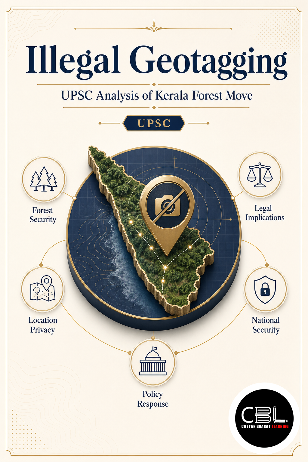

UPSC Mapping
| Exam | Topics |
|---|---|
| Prelims | Environment & Ecology, Geography, Science & Technology |
| Mains | GS Paper III – Environment, Conservation, Internal Security and Technology |
What is Illegal Geotagging?
Illegal Geotagging refers to the unauthorised capture, publication or sharing of precise geographical information where such disclosure is prohibited or threatens public safety, ecological security or privacy. Geotagging itself is the process of attaching location details such as latitude, longitude, altitude, date and time to digital content.
According to the source material, illegal geotagging includes publicly marking sensitive ecological sites, protected forest routes, military installations, strategic infrastructure or publishing the location of individuals without consent. While India has no standalone law prohibiting geotagging, it can become unlawful when it violates laws such as the Official Secrets Act, 1923, the Bharatiya Nyaya Sanhita, 2023, the Digital Personal Data Protection Act, 2023 or security-related restrictions.
Why is Illegal Geotagging in News?
The Kerala Forest Department has initiated a process to identify and remove unauthorised geotagged locations from online mapping platforms after officials observed that sensitive forest locations were directing visitors into protected areas. The department believes this has increased risks to both people and wildlife.
The source notes that trekking routes used by forest personnel, including areas associated with Silent Valley, had appeared on online maps. The Kozhikode Divisional Forest Officer had earlier requested the removal of such listings from reserve forests because they encouraged unauthorised entry. For official environmental updates, aspirants should regularly refer to the Ministry of Environment, Forest and Climate Change.
Key Features
- Location metadata: Geotagging enables precise identification of where digital content originated.
- Multiple applications: It supports navigation, disaster management, environmental research, land administration and logistics.
- Security concerns: Sensitive locations can become vulnerable when exact coordinates are publicly available.
- Ecological impact: Publicly visible forest locations may encourage uncontrolled tourism and habitat disturbance.
- Legal implications: Authorities may initiate action where geotagging violates applicable laws or official restrictions.
Challenges
- Human safety: Visitors may unknowingly enter landslide-prone or inaccessible regions during the monsoon.
- Wildlife disturbance: Increased movement inside protected forests may intensify human-animal conflict.
- Privacy risks: Publishing precise locations without consent may expose individuals to criminal misuse.
- Strategic exposure: Military and critical infrastructure locations require restricted disclosure.
- Regulatory enforcement: Authorities must balance technological openness with conservation objectives.
Way Forward
The Kerala Forest Department has assigned its IT Wing to identify unauthorised geotagged locations before forwarding verified lists to online mapping platforms for removal. The department also proposes legal action where necessary and intends to coordinate with local bodies to prevent future violations.
Long-term success will depend on balancing digital innovation with environmental protection, responsible tourism and public awareness. Aspirants may also follow official government updates through the PIB.
Prelims Practice Corner
-
Q1. Geotagging primarily refers to?
(a) Encryption of files (b) Attaching geographical information to digital content (c) Digital signatures (d) Cloud storage
Answer: (b) It links location information with digital content.
-
Q2. Kerala’s recent action relates to removing unauthorised geotags from?
(a) Urban roads (b) Railway stations (c) Protected forests (d) Airports
Answer: (c) The move targets sensitive forest locations.
-
Q3. Which Act is mentioned as potentially applicable when geotagging violates security restrictions?
(a) Official Secrets Act, 1923 (b) Forest Rights Act (c) Wildlife Protection Act (d) RTI Act
Answer: (a) Official Secrets Act, 1923.
-
Q4. One concern associated with illegal geotagging is?
(a) Increased crop production (b) Human-wildlife conflict (c) Reduced rainfall (d) Better internet speed
Answer: (b) Human-wildlife conflict.
-
Q5. The Kerala initiative seeks to protect?
(a) Commercial zones (b) Industrial corridors (c) Ecologically sensitive areas (d) Ports
Answer: (c) Ecologically sensitive areas.
Mains Practice Questions
-
Q1. Discuss the opportunities and challenges posed by geotagging for environmental governance and public safety. (10 Marks)
Answer Structure:
Intro: Define geotagging.
Body: Uses, environmental benefits, security risks, legal concerns, Kerala case study.
Conclusion: Recommend balanced digital governance.
-
Q2. Explain why regulating digital mapping platforms has become important for conservation in India. (15 Marks)
Answer Structure:
Intro: Explain digital mapping in governance.
Body: Protected areas, wildlife, tourism, legal framework, institutional coordination.
Conclusion: Promote technology with ecological safeguards.
FAQs on Illegal Geotagging
- What is illegal geotagging?
- It refers to the unauthorised publication or sharing of location-specific information that threatens security, privacy or protected ecosystems.
- Why did Kerala act against geotagging?
- Sensitive forest locations on online maps encouraged unauthorised entry, increasing risks to visitors, wildlife and fragile ecosystems.
- Is geotagging completely illegal in India?
- No. There is no standalone law banning geotagging, but it becomes unlawful when it violates applicable laws or official security restrictions.
Related Current Affairs
Preparing for UPSC, PCS or HCS?
Talk to a mentor at Chetan Bharat Learning, Chandigarh. Free guidance on choosing the right exam and building a study plan.
Chat on WhatsAppCall 97793 53345UPSC / IAS / PCS coaching in Chandigarh · Trusted by aspirants across Punjab & Haryana
Leave a Reply
You must be logged in to post a comment.