
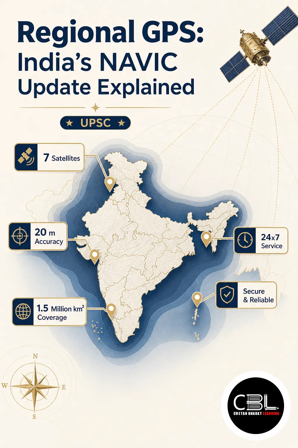

India’s regional GPS effort has returned to attention with ISRO’s latest navigation satellite mission. Read the broader space context in our space and technology updates as NAVIC seeks stronger operational continuity.
What is regional GPS?
The phrase regional GPS refers to a navigation system that covers a defined area rather than the whole globe. India’s version is NAVIC, designed to provide positioning, navigation, and timing services over India and nearby regions.
Unlike global constellations, a regional system can serve national needs more directly. It also supports critical sectors such as transport, disaster response, fisheries, and defence.
Why in News?
ISRO’s new satellite has drawn attention because it may help restore the reliability of India’s regional GPS alternative. That matters when a navigation constellation needs uninterrupted satellite coverage and signal strength.
The development is important for users who depend on accurate location services. It also renews focus on India’s effort to maintain an indigenous navigation capability.
Key Features
- Indian-owned system: NAVIC is built and operated by ISRO, giving India independent navigation capability.
- Regional coverage: The system is intended mainly for India and a surrounding zone, not full global coverage.
- Multiple services: It supports location finding, timing synchronisation, and navigation for civilian and strategic use.
- Strategic autonomy: A domestic system reduces dependence on foreign navigation networks in sensitive applications.
- Public utility: It can support mobile devices, transport management, and emergency operations where compatible receivers are used.
Challenges
- Constellation upkeep: A navigation system needs functioning satellites in orbit, and any gap affects reliability.
- Receiver compatibility: Wider use depends on devices and equipment being able to read NAVIC signals.
- User awareness: Many citizens still rely on generic GPS terminology and may not know India has its own system.
- Operational resilience: The system must remain stable against technical faults, launch delays, and ageing satellites.
Way Forward
India will need a dependable satellite fleet, better receiver integration, and stronger ecosystem support. The goal should be to make NAVIC widely usable in consumer devices and strategic platforms.
For UPSC, the larger lesson is about technology sovereignty and the state’s role in critical infrastructure. A robust regional GPS strengthens both governance and national security.
Source: Indian Express Explained, 2026-10-24
This topic fits state PCS Science and Technology, especially questions on satellite applications in transport, disaster management, and governance. It also helps in understanding how India builds strategic infrastructure with domestic capability.
FAQ
Is NAVIC the same as GPS?
No. GPS is the United States’ global navigation system, while NAVIC is India’s regional system. Both provide location services, but their coverage and control differ.
Why does India need a regional navigation system?
A regional system gives India independent access to navigation and timing data. It is especially useful in defence, transport, and emergency response.
What does the new satellite change?
It is meant to support the continuity and reliability of India’s navigation constellation. That can help restore confidence in the country’s regional GPS alternative.
Related Current Affairs
Preparing for UPSC, PCS or HCS?
Talk to a mentor at Chetan Bharat Learning, Chandigarh. Free guidance on choosing the right exam and building a study plan.
Chat on WhatsAppCall 97793 53345UPSC / IAS / PCS coaching in Chandigarh · Trusted by aspirants across Punjab & Haryana
Leave a Reply
You must be logged in to post a comment.