
UPSC Relevance
This topic is important for GS Paper III, covering environment, biodiversity conservation, forest governance, digital governance, disaster management, and the use of geospatial technologies.
Why in News
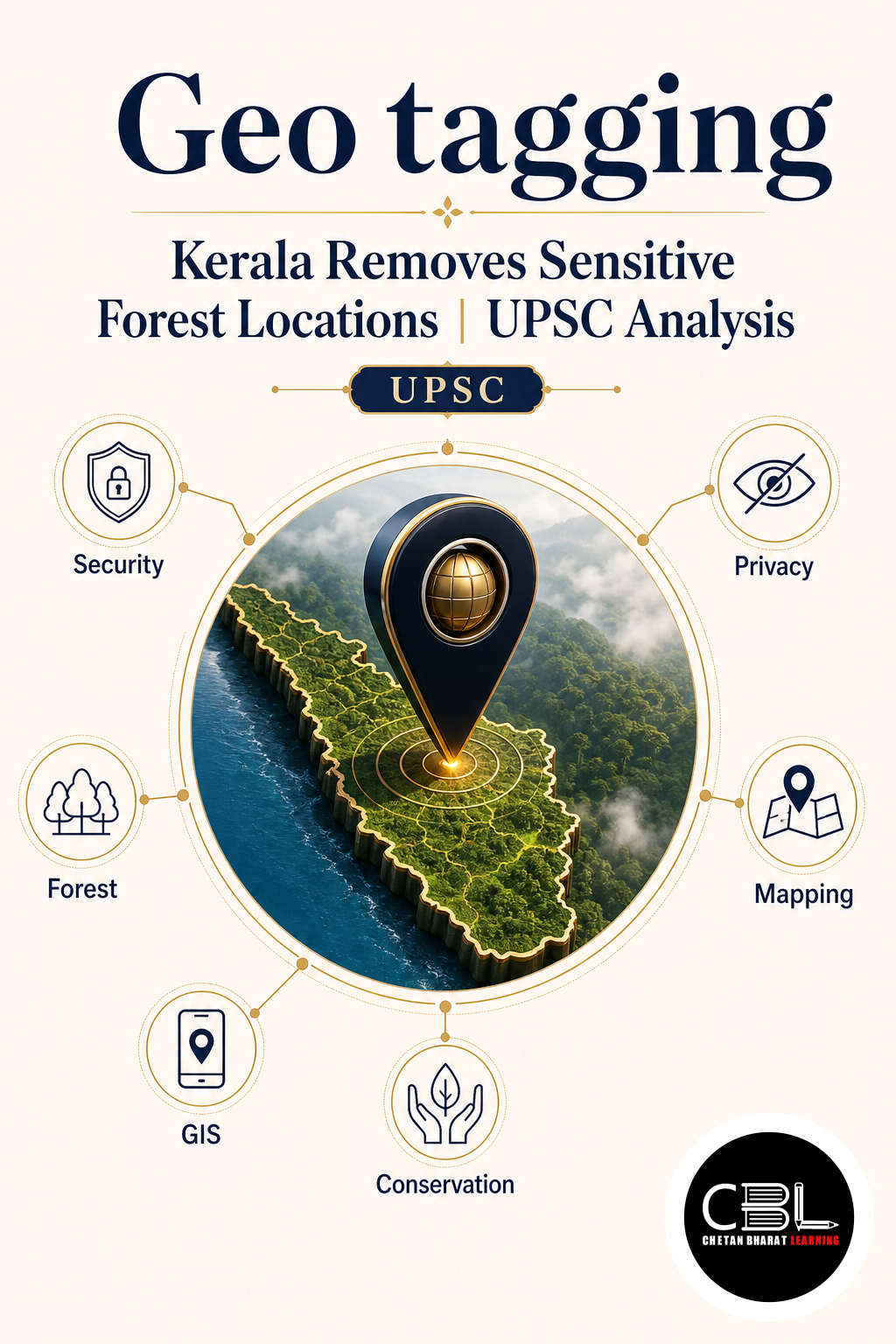
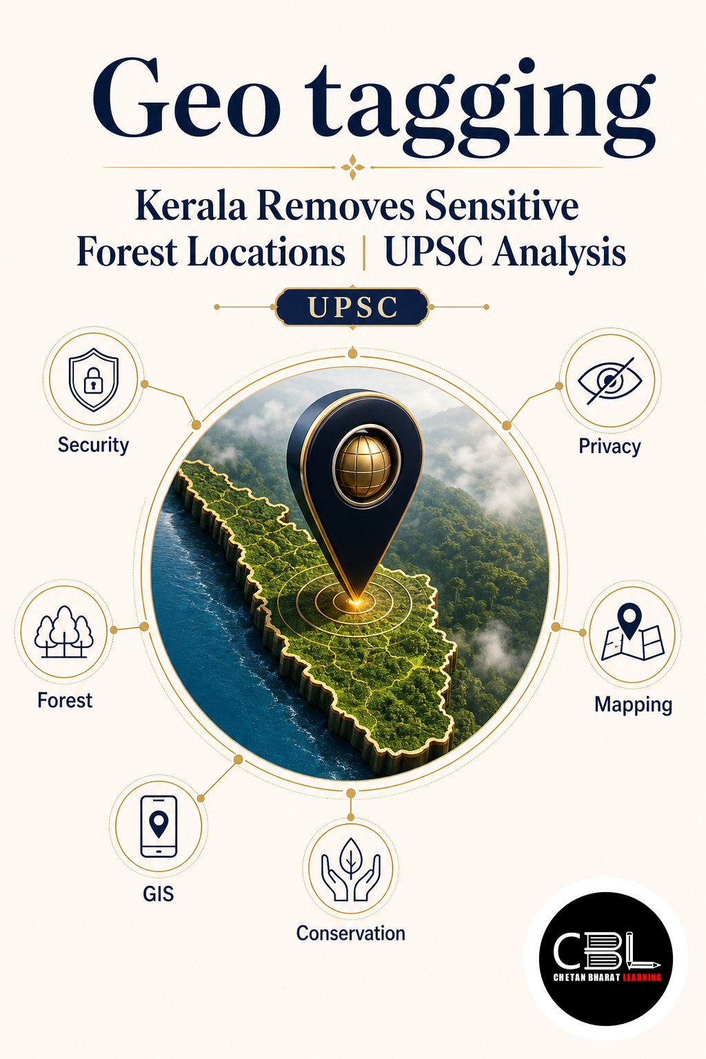
Kerala identified sensitive forest locations that had been geotagged and publicly visible on Google Maps. The state requested the removal of such locations to reduce illegal entry into forests and safeguard biodiversity.
Quick Facts
| State | Kerala |
|---|---|
| Issue | Removal of illegally geotagged sensitive forest locations from Google Maps |
| Objective | Protect wildlife habitats and ecologically fragile areas |
| UPSC Themes | Environment, biodiversity conservation, digital governance, disaster management |
What is Geo Tagging?
Geo Tagging is the process of attaching geographical coordinates (latitude and longitude) to digital content such as photographs, videos, social media posts, or maps. Once geotagged information becomes publicly accessible, users can navigate directly to that location using digital mapping applications.
How Does Geo Tagging Work?
Location information is collected through technologies such as:
- GPS (Global Positioning System)
- Mobile Networks
- Wi-Fi Positioning
- Satellite Navigation Systems
These coordinates are then stored with digital content and may become publicly visible on mapping platforms.
Why Was Kerala’s Decision Taken?
- Prevent Illegal Entry: Publicly available coordinates made it easier to access protected forests.
- Protect Wildlife Habitats: Sensitive ecosystems required greater protection.
- Reduce Ecological Damage: Unregulated tourism and human movement affected fragile landscapes.
- Enhance Safety: Dangerous forest locations posed risks to visitors.
GPS vs NavIC
- GPS: Developed by the United States with global coverage.
- NavIC: Developed by India, providing regional navigation services over India and surrounding areas.
Protected Forests vs Reserved Forests
- Protected Forests: Notified under the Indian Forest Act with regulated activities and comparatively lower protection.
- Reserved Forests: Receive the highest level of legal protection, with stricter restrictions and greater conservation priority.
What are Eco-Sensitive Areas?
Eco-sensitive areas are ecologically valuable regions where human activities are regulated to protect biodiversity. These may include wildlife habitats, breeding grounds, fragile mountain ecosystems, and wetlands.
Why is Illegal Geo Tagging a Problem?
- Encourages overtourism in fragile ecosystems.
- Disturbs wildlife and natural habitats.
- Increases human–wildlife conflict.
- Facilitates illegal activities such as poaching.
- Damages fragile ecosystems.
The Impact Chain
Publicly available geotagged locations can increase visitor footfall, disturb wildlife, accelerate ecological degradation, and ultimately require stronger government regulation.
Digital Governance: A Double-Edged Sword
Digital mapping technologies provide important public benefits such as navigation, tourism, emergency response, and citizen participation. At the same time, they may create environmental risks, conservation challenges, governance issues, and misuse of location data when sensitive ecological sites become widely accessible.
Kerala’s Action Plan
- Identify illegally geotagged locations.
- Verify ecological sensitivity.
- Request removal from mapping platforms.
- Identify responsible individuals where necessary.
- Initiate legal action in appropriate cases.
- Strengthen protection of sensitive ecosystems.
Prelims Practice Questions
Q1. Geo Tagging refers to:
- Digital mapping of weather
- Attaching geographical coordinates to digital content
- Forest surveying only
- Satellite communication only
Answer: (b)
Q2. NavIC has been developed by:
- NASA
- ISRO
- ESA
- JAXA
Answer: (b)
Q3. Kerala removed sensitive forest locations from Google Maps primarily to:
- Promote tourism
- Protect ecologically sensitive areas
- Increase road connectivity
- Expand urban development
Answer: (b)
Q4. Which category receives the highest legal protection?
- Protected Forest
- Reserved Forest
- Village Forest
- Community Forest
Answer: (b)
Q5. Illegal geo tagging may contribute to:
- Wildlife disturbance
- Human–wildlife conflict
- Poaching
- All of the above
Answer: (d)
Mains Practice Questions
Q1 (10 Marks): Discuss the environmental and governance challenges associated with public geo tagging of ecologically sensitive areas.
Q2 (15 Marks): “Digital technologies can strengthen conservation but may also threaten fragile ecosystems.” Examine this statement in the context of geo tagging and digital governance.
FAQs
Why did Kerala remove sensitive forest locations from Google Maps?
The objective was to prevent illegal access, protect wildlife habitats, and conserve ecologically fragile ecosystems.
What is Geo Tagging?
It is the process of attaching geographical coordinates to digital content, making locations easier to identify and navigate.
Why is this topic important for UPSC?
It integrates biodiversity conservation, forest management, geospatial technology, and digital governance under GS Paper III.
Related Current Affairs
Preparing for UPSC, PCS or HCS?
Talk to a mentor at Chetan Bharat Learning, Chandigarh. Free guidance on choosing the right exam and building a study plan.
Chat on WhatsAppCall 97793 53345UPSC / IAS / PCS coaching in Chandigarh · Trusted by aspirants across Punjab & Haryana
Leave a Reply
You must be logged in to post a comment.